
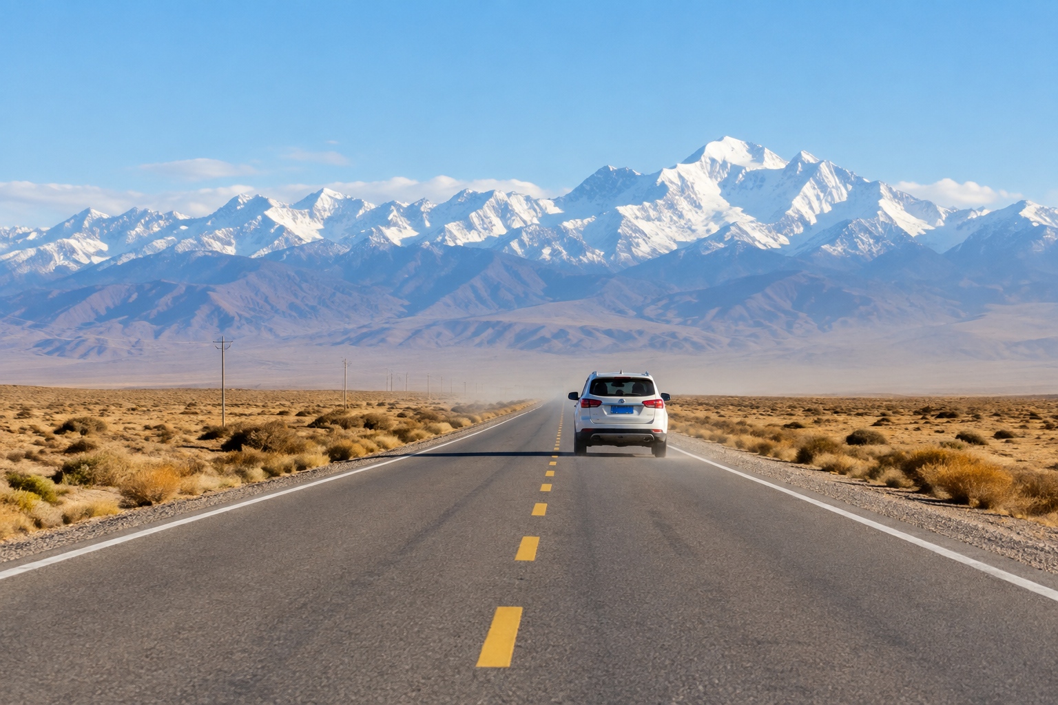

Ask someone in Urumqi how far Kashgar is and you’ll often get a confident answer that turns out to be wrong. Two hours? It’s about 1,080 kilometers in a straight line — roughly Paris to Rome. By road it’s closer to 1,500 kilometers, about the same as driving from Chicago to Denver.
Both cities are in Xinjiang. Same region. Same color on the map.
This is one of the things about China that surprises outsiders and, just as often, surprises Chinese people themselves. The country’s internal distances are so large that they stop feeling real.
How big is Xinjiang, actually?
The Xinjiang Uyghur Autonomous Region covers about 1.66 million square kilometers. That’s roughly one-sixth of China’s entire land area, in a single region.
Put it next to places you may know better:
- Just a little smaller than Alaska.
- Slightly bigger than Iran.
- About the size of France, Germany, the UK and Spain added together.
- Roughly four Californias.
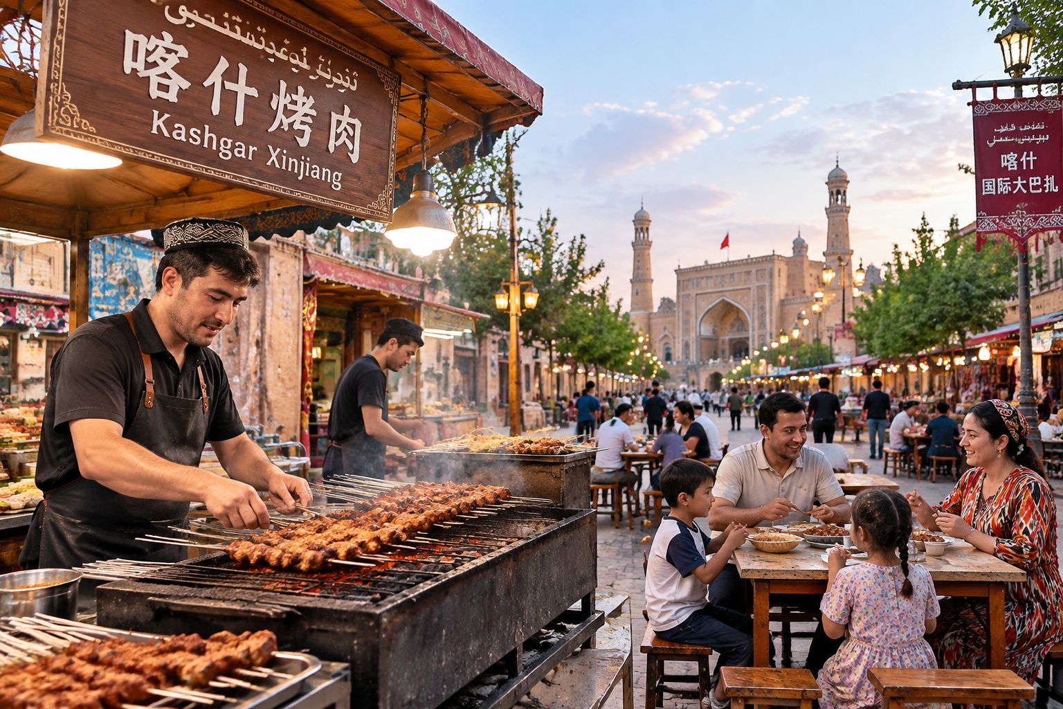
About 25 million people live there — comparable to the population of Australia. But most of Xinjiang is desert, mountain and steppe. People cluster in oasis cities fed by rivers running off the Tian Shan and Kunlun mountains, which is why the map shows a handful of green dots in a very large beige space.
One country, one clock, two schedules
China runs on a single time zone: Beijing time, UTC+8, from the Pacific coast to the border with Afghanistan. Geographically, the country spans five time zones. Xinjiang sits at the far western end of that stretch.
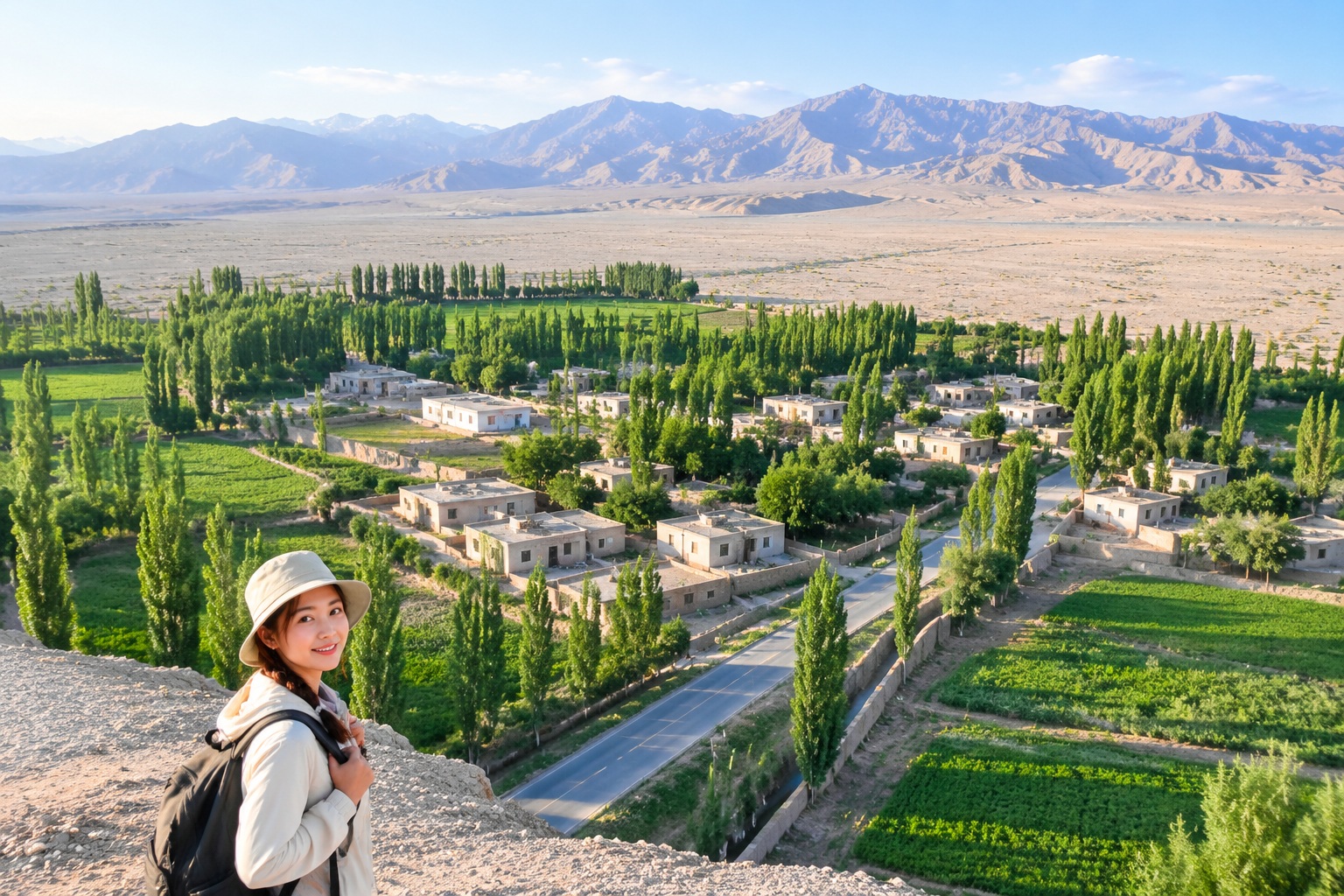
The result is a region where the sun behaves strangely. In summer, sunset in Kashgar can come after 10 p.m. Beijing time. In winter, sunrise there can be close to 10 a.m.
Locals handle it by keeping two clocks in their heads. Official life — flights, trains, government offices, school schedules — runs on Beijing time. But many people, especially in the south, plan meals and social life on what they call Xinjiang time, two hours behind. An invitation to dinner at 8 might mean 8, or it might mean 10. You learn to ask.
For a visitor, the practical effect is a quietly shifting body clock. You eat late, sleep late, and start to wonder why the breakfast places open at 11.
What distance does to daily life
Flying is normal
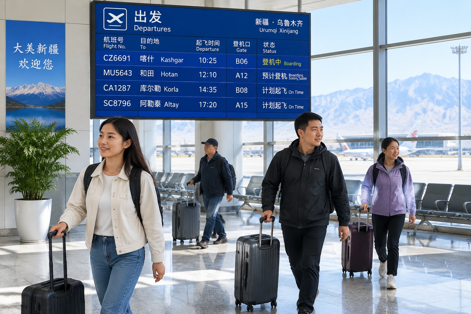
Xinjiang has more than 20 civil airports, the most of any province-level region in China. Many of them are small, with a handful of daily flights. For someone in Hotan or Altay, flying to Urumqi for a meeting or a hospital appointment is ordinary. A one-hour-forty-five-minute domestic flight is simply how you get to the regional capital.
Trains got faster, but not in every direction
The Lanzhou–Xinjiang high-speed line, which opened in 2014, cut the trip from Urumqi to Hami to about three hours. But Urumqi to Kashgar by rail is still most of a day — 11 hours or more on the fastest trains. From Beijing, the train to Urumqi takes over 30 hours. Plenty of people take it anyway.
Free shipping stops at the edge of the map
Shop on Taobao, China’s giant e-commerce platform, and you’ll notice listings that say ‘no free shipping to Xinjiang and Tibet.’ It’s a running joke among Chinese shoppers, but it points to something real. Parcels sent from manufacturing hubs in the east take days longer and cost more to reach western addresses. In a country where same-day delivery is a bragging point in Shanghai, that gap is a daily reminder of scale.
Going home for the holidays is a project
A student from southern Xinjiang studying in Beijing faces a four-to-five-hour flight or a 30-plus-hour train. Multiply that by a family of four and you understand why trips home get planned months in advance, and why video calls have quietly replaced some of them.
It isn’t only Xinjiang: Inner Mongolia is long, Yunnan is tall
Xinjiang is the clearest example of China’s scale problem, but it isn’t the only one.
Inner Mongolia stretches about 2,400 kilometers from east to west — roughly the distance from London to Istanbul. That length creates an odd internal split. People from the eastern end, around Hulunbuir, sound and eat more like Northeast China. People from the western end, around Ordos and Baotou, have more in common with Shanxi and Shaanxi. The two ends of the same region are more than 1,000 kilometers apart in a straight line, and they can feel like different countries.

Yunnan isn’t wide. It’s vertical. Elevation runs from about 76 meters in the Red River valley to 6,740 meters at Kawagebo Peak on the Tibetan border. Within one province you can drive from tropical rainforest to alpine glacier. Chinese travelers have a saying for it: one mountain, four seasons; ten li, different weather. Twenty-five of China’s officially recognized ethnic minority groups live in Yunnan, and the province’s markets show it — the food, the textiles and the languages change every few hours of driving.
Why Chinese people are surprised too
Here’s the part outsiders often miss. Chinese people are not immune to this confusion. Most of them have simply never been west.
Roughly 94% of China’s population lives on about 40% of its land, on the eastern side of a diagonal line drawn from Heihe in Heilongjiang to Tengchong in Yunnan. Geographers have tracked that line since 1935, and it has barely moved. The overwhelming majority of Chinese people live in dense coastal and central cities where a two-hour drive crosses three cities.
So for someone in Shanghai, going to Xinjiang is closer to going to another country than to going to another province. The map on the wall shows one continuous country. The mental map shows a crowded east and a vast, vague west.
Flat maps make it worse. A single printed map of China squeezes everything into one frame, so the eye never converts distance into hours. It’s the same reason a New Yorker can underestimate Montana.
If you’re planning a trip
The most common beginner’s mistake is trying to see Xinjiang in a week. You can’t. Pick one loop.
- Northern Xinjiang: Urumqi, then west toward Ili and north to Kanas. Grassland, lakes, alpine scenery.
- Southern Xinjiang: Kashgar, the edge of the Taklamakan Desert, Hotan, and the Karakoram Highway toward Taxkorgan. Oasis cities, old bazaars, high mountains.
Even one loop means long driving days. A stretch that looks like three hours on a map can take five, thanks to roadworks, checkpoints and a stop for melons you will not regret. Domestic flights between Xinjiang cities are often the smartest option, and they are inexpensive by Western standards.
And in summer, don’t be surprised when the sun is still up at 10 p.m. Dinner at 9 is normal. Dinner at 11 is not unusual.
The point of all this
China’s internal scale isn’t trivia. It explains a lot: why accents, food and business habits shift so sharply from region to region, why ‘Chinese culture’ is a loose shorthand for dozens of local realities, and why a family in Kashgar and a family in Shanghai carry completely different senses of what ‘far’ means.
The next time you look at a map of China, remember that the flat shape hides a four-hour flight and a two-day drive. The country is not just big. It’s big in a way its own citizens keep rediscovering — usually with a rented car, a full tank and a very wrong estimate of how long the next stretch will take.
Start the discussion at forum.chinacomes.com