

Salt in the Air
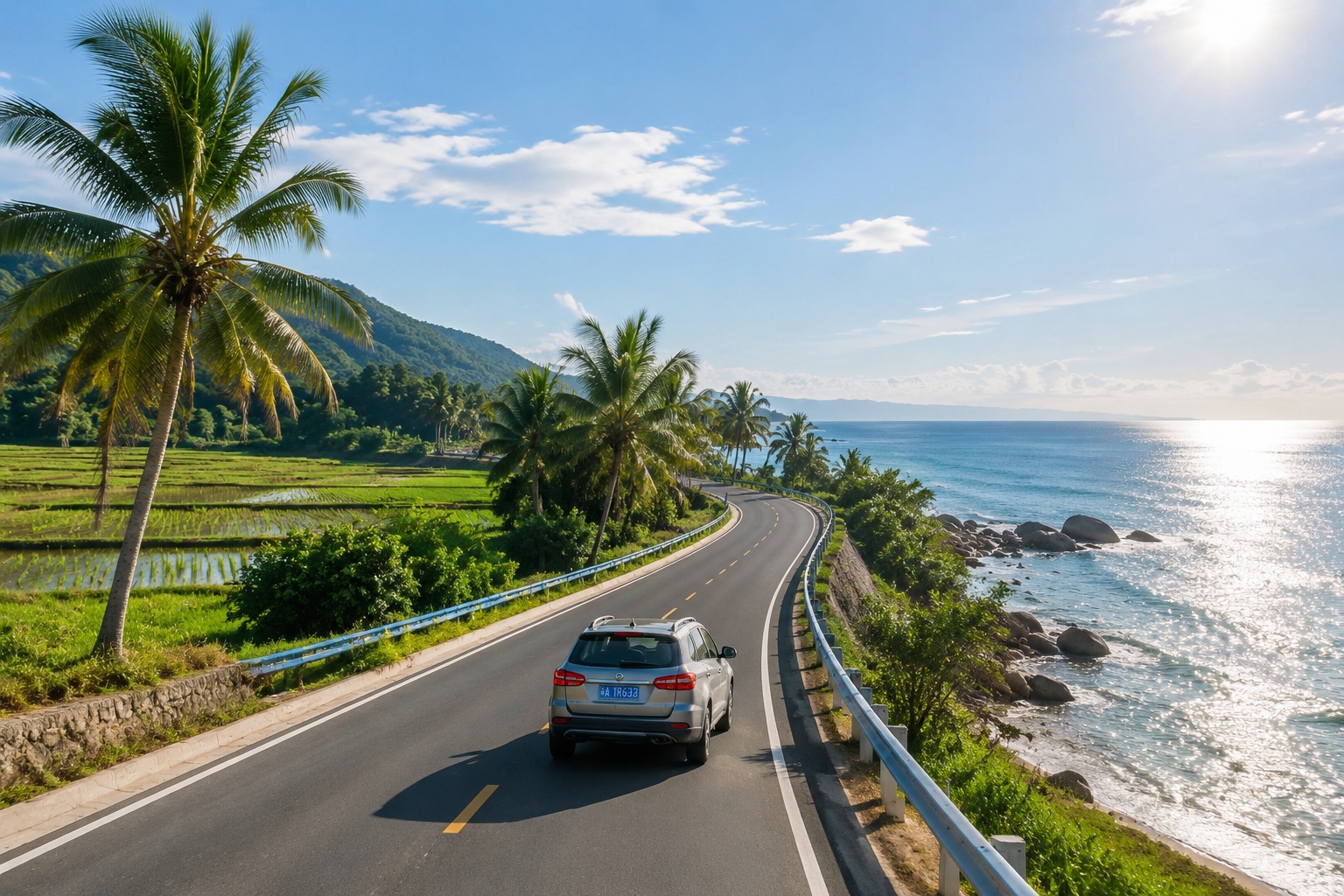
At eight in the morning, I slid the car window down. The wind came in warm and wet, carrying a pinch of salt and the low rumble of waves. On my left, a rice field faded into coconut palms; on my right, dark rocks took turns with the surf. I was somewhere between Wenchang and Wanning, on a road that had been open for less than three years.
This is the Hainan Coastal Tourist Highway, a 988-kilometer loop that circles the tropical island at the southern edge of China. It has become known, with some exaggeration and a bit of fondness, as “China’s Route 66” – not because it crosses deserts or small towns of the American Midwest, but because it frames a journey that feels bigger than the map.
A Necklace of Twelve Counties
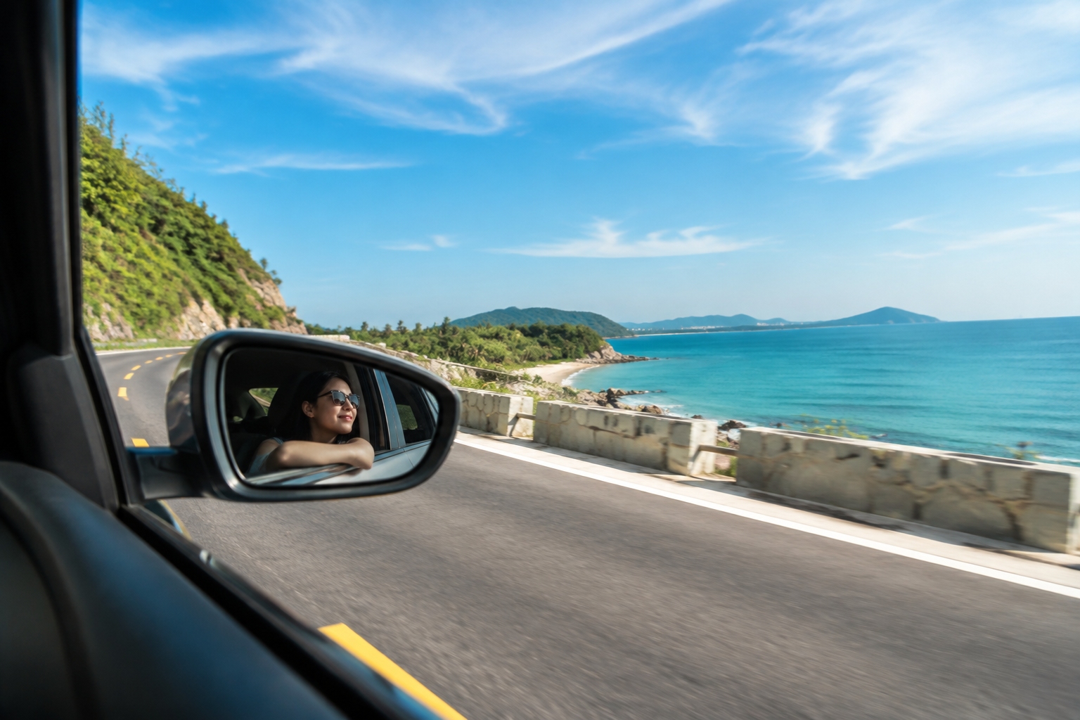
The highway opened in June 2022, stitching together more than 40 towns and 12 cities and counties. It is not a single four-lane expressway; most of it is a two-lane asphalt ribbon with occasional climbs into hills and drops to the shore. Engineers built around capes, estuaries, and mangroves, and wherever possible they kept the ocean in view. There are about 80 scenic lookout points and many small parking pockets where you can stop to watch fishing boats crawl out at dawn.
Starting from Haikou in the north, the eastern leg passes through coconut groves in Wenchang, the mudflats of the Wenchang sea, the well-known surfing town of Wanning, and the stilt houses of Lingshui. The western side is calmer, with the volcanic coastline near Danzhou, the ancient salt fields at Yinggehai, and the more serious forest of Jianfengling. In between, the road slips into patches of tropical rainforest where the air smells of wet earth and the light breaks through dense canopy in long slanting beams.
Road Feel and Weather
Driving this road is not like racing down a German autobahn. Average speed limits hover around 60 to 80 kilometers per hour, and you will be happy to go slower. The surface is smooth and recently painted lines glow in the dark, but the road is shared with electric scooters, tractors, and an occasional water buffalo that has no respect for right-of-way. You drive with window down, music low, and one eye on the mirror for the next photographer.
The best months are from November to April. During this stretch, humidity drops, the sun is strong but not punishing, and the ocean is clear enough to see the sand bars from the cliff. Summer brings rain, typhoons, and heavier humidity. The shoulder season also means fewer buses and more room at the small eateries that appear in every town.
There is no shortage of gas stations on the main loop, but a few mountain sections are long and empty. I recommend gassing up whenever you leave a city. Battery charging for electric cars is improving, but still sparse in the west; if you rent an EV, plan your top-ups at the larger towns.
Fishing People and Surfers
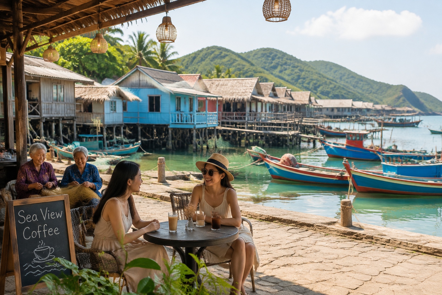
Near the end of a long day, I stopped at a tiny village in Lingshui. Elderly women sat on the stone steps mending nets, the smell of dried fish hanging in the air. One man, around sixty, told me that two years ago his son came back from Shenzhen to turn the family’s old warehouse into a guesthouse. “Before the road, we only saw our own neighbors. Now, every weekend there are cars with Beijing plates.”
That story repeats along the coast. In Wanning’s Shamei Bay, surf shops opened by young Chinese who learned to ride waves in Australia now line the last street before the sand. A coffee shop owner in Riyue Bay said her monthly revenue has tripled since the highway opened. “The road brought the world to our door,” she said, pouring a latte with a coconut shell on the counter.
Old and New on the Same Coast
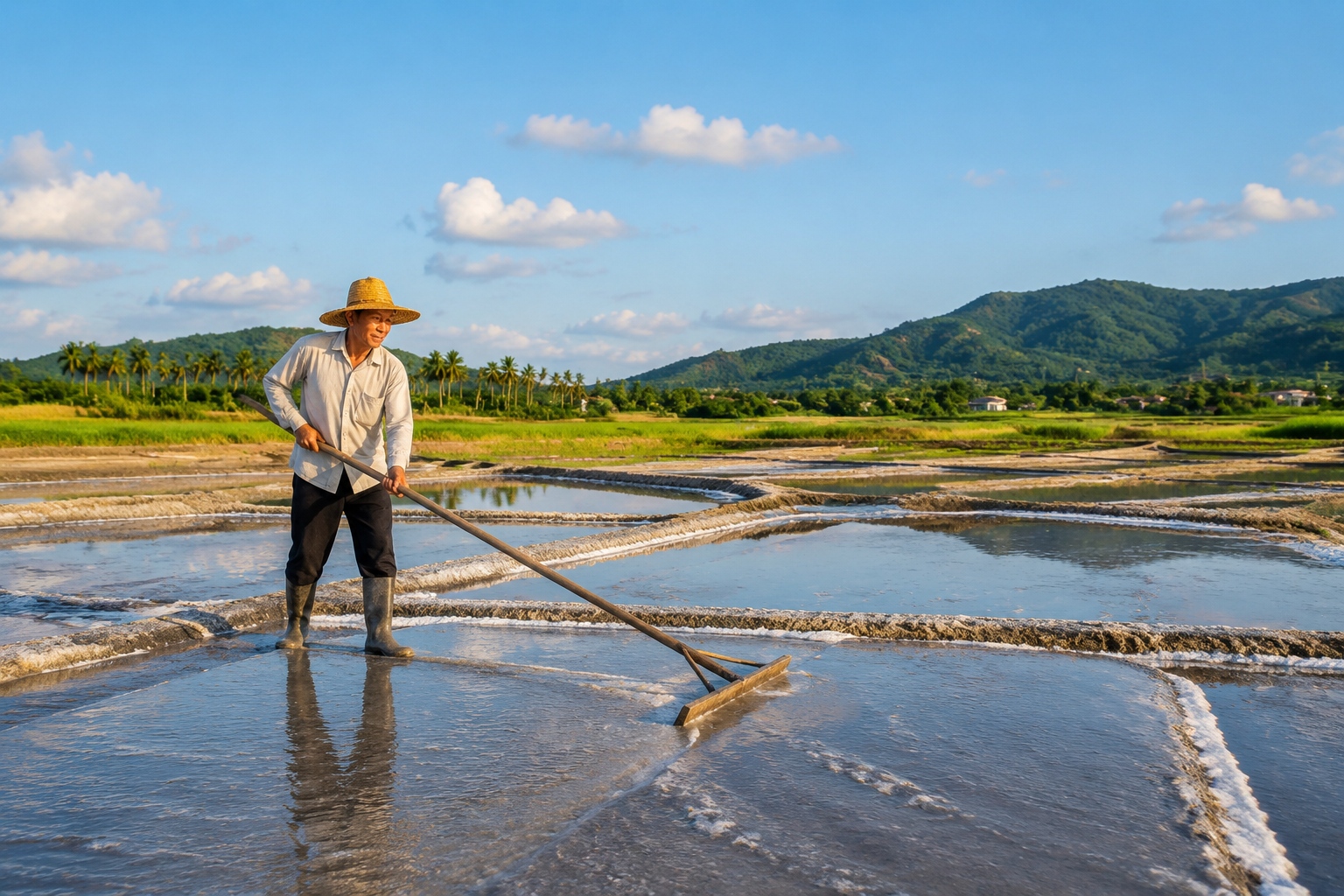
The road doesn’t hide the clash between old and new. In some coves, centuries-old fishing methods coexist with modern solar-powered observation decks. In the salt fields at Yinggehai, workers still rake salt in shallow trenches under the blazing sun, a craft that has barely changed, even as tourist buses park next to the field.
Environmental concerns are visible too. Runoff from new hotels and traffic pressures in protected mangrove areas occasionally make the news. The local government has tried to limit large development within 100 meters of the shoreline, and I saw several areas where construction was paused. It is a reminder that any popular road is a test of balance.
Practical Tips for Your Own Drive
If you are ready to make the loop, here are things I learned on the road.
Renting a Car
Renting in Haikou or Sanya is easy. International platforms like Hertz and Avis operate at the airports, though local companies often offer better prices. A regular SUV or even a compact car works fine – the road is well-paved. Expect to pay 200–400 yuan per day (about 28–55 USD) excluding fuel. Fuel costs roughly 0.8 yuan per kilometer (11 cents per mile), so a full loop of about 1,000 km will add up to around 800 yuan in gas.
Which Direction to Drive
If you have four or five days, start in Haikou and go counterclockwise. This way you hit the popular eastern coast first, then reach the quieter western side when you are ready for a slower pace. Make sure to plan two nights on the eastern segment, and one long stretch through the forested center if you want to see the inland mountains.
Must-Stop Spots
- Shamei Bay (Wanning): a crescent beach with calm water and a small surf-culture vibe.
- Yinggehai Salt Fields (Ledong): an industrial salt pond turned surreal landscape, best in the late afternoon.
- The Fringing Reef of Maoye Bay (Sanya): coral and clear water, often missed by tour groups.
- Moon Bay at Jiaji (Qionghai): a quiet stretch where locals gather for evening walks.
- Volcanic Coast at Danzhou: black basalt cliffs and natural arches, less visited than the island’s eastern beaches.
Budget and Stays
Budget about 800–1,200 yuan (110–170 USD) per day for a single traveler, including car rental, fuel, food and a mid-range hotel. If you travel with two or three people, the cost per head drops significantly. A meal at a roadside fish shop costs 40–80 yuan, and a comfortable guesthouse with sea view is around 300–600 yuan in most towns.
What to Know Before You Go
Bring sunscreen, a hat, and a light jacket for rain. Locals use a WeChat mini-program for live highway updates, but you can also use any navigation app such as Amap or Baidu Maps. Most signs are bilingual in Chinese and English, but it helps to have a translation app for menus that don’t show prices.
The Road Remakes the Island
In the late afternoon, I stopped on a cliff near the eastern edge of the island. Below, a fishing village stacked its colorful houses around a half-moon bay. This new road has already changed the shape of that village – a small cafe, a hostel, a sign pointing to homestays. But the old men still sat on the sea wall playing chess, the waves still knocked against the jetty, and the woman at the fish stall still wrapped her day’s catch in banana leaves. The road doesn’t replace what was there; it simply made it visible to the world.
The sun set slowly on the water, turning the road ahead into a line of orange and gold. I closed the window, turned the air conditioning on, and started the long drive. Somewhere beyond the next cape, there would be another town, another story, another cup of coffee. That is the true gift of a loop road – it always brings you back, but never to the same place.

Start the discussion at forum.chinacomes.com