

A morning at Gongchen Bridge
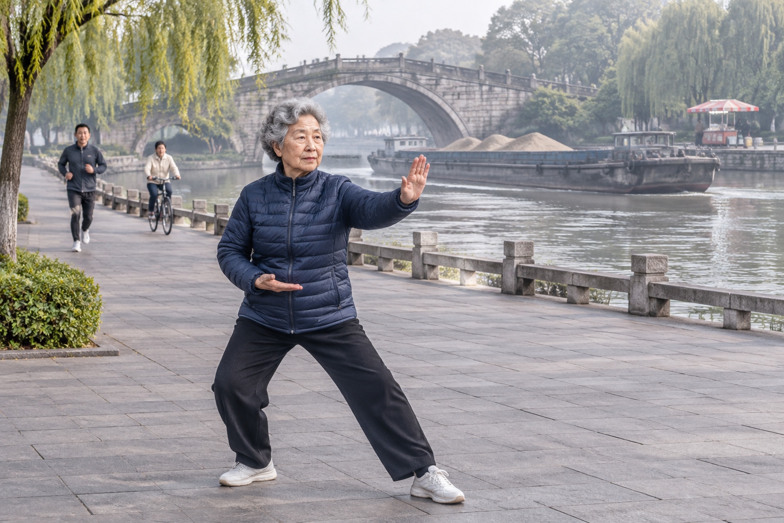
At 6:40 on a Tuesday morning, Chen Xiuying is halfway through her tai chi set on the east bank of the Grand Canal in Hangzhou. She is 73, a retired accountant, dressed in a navy padded jacket and white sneakers. She has done this most mornings for eleven years, ever since her grandson started primary school two streets away.
Behind her, a barge loaded with yellow sand slides north beneath Gongchen Bridge, a stone arch built in the 1630s and rebuilt in the late 19th century. On the opposite bank a woman sells breakfast from a cart. A man in a suit walks past with a phone pressed to his ear. Nobody looks at the bridge. It is simply the thing they cross.
That ordinary scene is a reasonable place to start explaining the Grand Canal National Cultural Park, because the project is not mainly about building a monument. It is about keeping a 2,500-year-old transport system alive as a place where people work, commute, jog and eat breakfast — and doing that coherently across eight provincial-level regions.
What the Grand Canal National Cultural Park actually is
The name misleads foreign readers. A national park in the American or East African sense means a bounded piece of land run by a single agency. China’s national cultural parks are different animals: coordination frameworks built around a central plan, a set of heritage and environmental targets, and money channelled to local governments that own the land.
China announced the first batch — covering the Great Wall, the Grand Canal and the Long March — in 2019, with the Yellow River added in 2021. The Grand Canal construction and protection plan was published in August 2021. It covers Beijing, Tianjin, Hebei, Shandong, Henan, Anhui, Jiangsu and Zhejiang: eight provincial-level units holding roughly 40 percent of China’s population and economic output, and a canal network of about 3,200 kilometres once the Sui-Tang routes are counted alongside the later Beijing-Hangzhou line.
The UNESCO listing, granted in 2014, covers a smaller and more precise footprint: 27 stretches of waterway and 58 heritage sites, about 1,011 kilometres in total. That number matters. It is the part everyone agrees is precious. The other 2,000-odd kilometres are where the arguments happen.
Protect, inherit, use: three words, one tension
Chinese policy documents compress the goal into six characters: 保护好、传承好、利用好 — protect it well, pass it on well, use it well. The three are easy to list and hard to balance.
Protection means water quality, riverbanks, embankment stability and the physical heritage itself. Inheritance means museums, school curricula, craft revival and the intangible side of the canal: boatmen’s work songs, silk weaving, the garden style of the salt merchants. Use means parks, walking trails, tourist boats, cafés and — importantly — freight.
Push protection too hard and you get a fenced-off diorama. Push use too hard and you get another row of chain restaurants in fake-antique buildings. Most of the practical work along the canal over the past five years has been an argument about where that line sits, street by street.
From grain-tax corridor to a development axis
The canal’s original purpose was logistics. From the Sui dynasty onward, grain from the Yangtze delta was shipped north to feed the capital and its garrison. The Beijing-Hangzhou canal, complete in its essential form under the Yuan, ran roughly 1,794 kilometres and moved tax grain, salt, timber and officials for centuries. Rail and sea shipping killed that business; by the early 20th century, long sections were silted, polluted or simply dry.
Freight never fully stopped. The southern half kept working, and today the Jiangsu section of the Beijing-Hangzhou canal moves more than 400 million tonnes of cargo a year, making it one of the busiest inland waterways on earth by volume. Container barges run from Xuzhou and Huai’an down to the port of Taicang.
That is the shift the park is meant to formalise. The canal is no longer a single-purpose tax route but a multi-purpose corridor carrying water, ships, tourists, storm drainage and, increasingly, the identity of the cities on its banks.
What has actually been built
Hangzhou: the canal as a commute
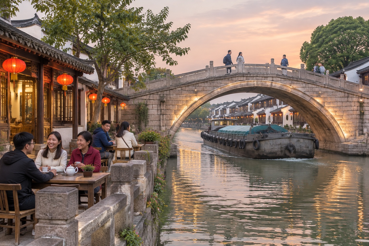
Hangzhou started early. A comprehensive conservation programme launched in 2002 cleared factories and housing from the banks, dredged and re-watered the channel, and restored the Gongchen Bridge neighbourhood. Water quality in the urban stretch moved up from the worst category to grades III to IV on China’s five-level scale, meaning it is now usable for industry and, in places, for recreation. Water buses have run since 2004, and the riverside path works as a real commuting route rather than a decorative promenade.
Not everything went smoothly. Thousands of residents were relocated, and some historic alley housing was replaced by reconstructed commercial streets. The result is cleaner and more accessible, and also more curated than what stood there in 1995.
Yangzhou: from chemical plants to a museum lawn
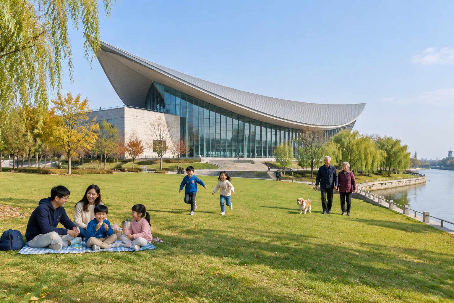
Yangzhou’s Sanwan stretch was industrial: pesticide and pharmaceutical plants sat on the bend where the canal loops. The city moved them out, treated the soil, and turned the area into a wetland park with a large public lawn. In June 2021 the China Grand Canal Museum opened on the site, its roof shaped to echo a sailing ship. Entry is free with an online reservation, and weekend slots go within hours.
Beijing’s Tongzhou district: a museum and a navigable channel
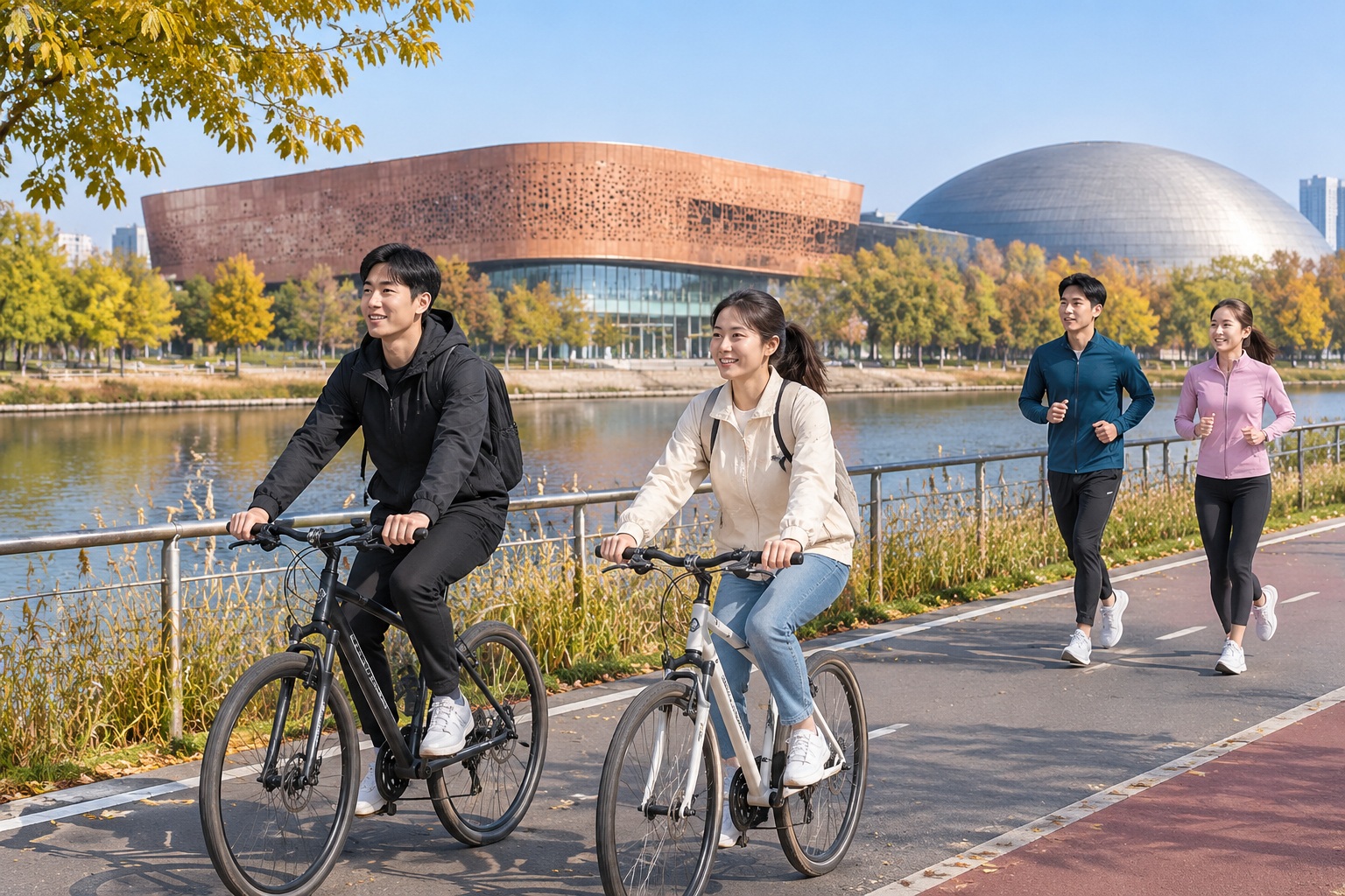
Beijing’s contribution sits at the eastern edge of the city. The 11-square-kilometre Green Heart Forest Park opened in 2020 on former industrial and village land. The Beijing Grand Canal Museum opened in December 2023 beside a new theatre and library. In June 2022 the North Canal reopened to tour boats in the Tongzhou stretch, and a year later the route extended into neighbouring Hebei. This is tourism, not freight: the water is shallow and engineered for sightseeing.
Shandong: putting a working canal back on the map
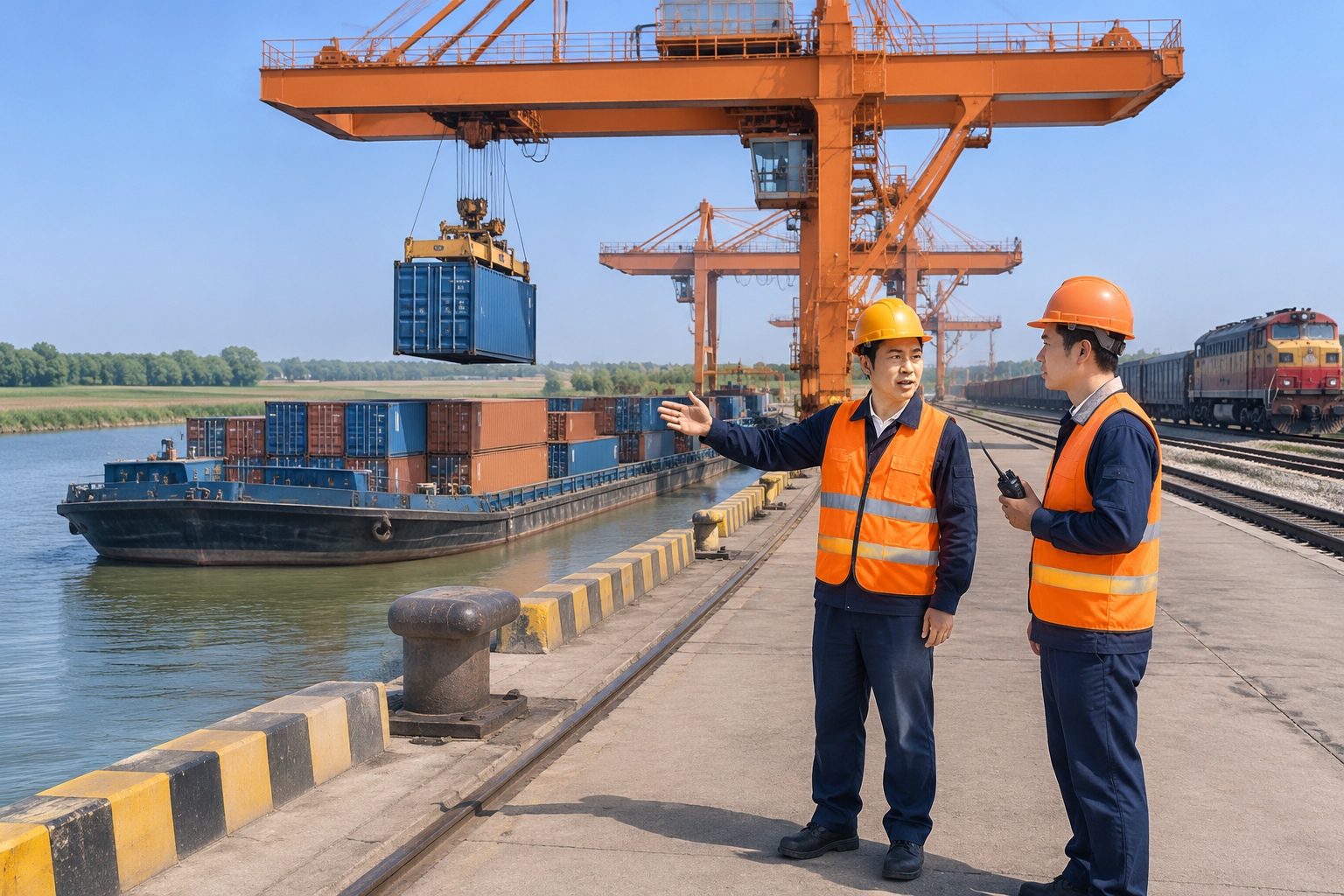
North of the Yellow River the canal has been largely dry or unnavigable for more than a century. Shandong has been changing part of that. The Liangshan port complex, opened in 2021, links the canal to the Watang-Rizhao railway, letting coal and containers move by barge again. The volumes are modest next to Jiangsu, but it is the first sustained freight activity on that stretch in decades.
The parts that are still hard
Three problems are visible to anyone who travels the length of the canal.
The first is water. The northern half simply does not have enough of it. The South-North Water Diversion project uses the canal channel in places, which helps water levels but does not make the waterway navigable for commercial traffic all the way to Beijing. Full through-navigation remains a long-term ambition, not a plan with a completion date.
The second is money. Hangzhou, Suzhou and Wuxi can pay for landscape architects and riverbank clearance. Smaller cities in Hebei and western Shandong cannot, and the gap shows in the quality of paths, signage and maintenance.
The third is people. Cleaning up a canal raises nearby property values, which pushes out the tenants who lived there when it was cheap. Some cities have experimented with rent-controlled housing and cheap ground-floor workshops for craftspeople. None has fully solved it.
What to watch
Three things are worth tracking over the next few years. Whether the riverside greenway becomes continuous enough to walk or cycle across provincial borders. Whether cross-city tourist boat routes — Hangzhou to Suzhou, for instance — become practical rather than ceremonial. And whether the park’s evaluation system starts measuring water quality, resident satisfaction and freight tonnage rather than ribbon-cuttings and visitor counts.
The most useful test is not how many museums open. It is whether, in ten years, the canal is still a working waterway with ordinary people on its banks — the barge, the tai chi class, the breakfast cart — or whether it has become a backdrop.
On that Tuesday morning in Hangzhou, none of it was decided. The barge went north. Chen finished her set, walked to the cart and bought a steamed bun. Then she crossed the bridge, the way people have crossed it for four hundred years.