

A Road That Starts With Prayer Flags
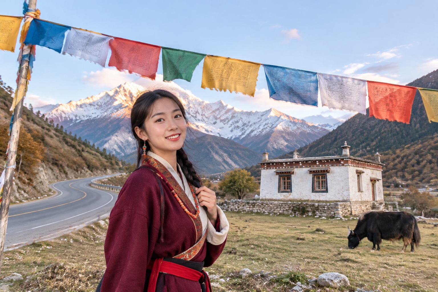
The first prayer flag on this route is easy to miss. Two hours west of Chengdu, a cluster of five-colored cloth is tied to the roof of a roadside house. Behind it are white stupas, a few yaks standing in the road, and the first real mountains. You are still in Sichuan, but the Tibetan world has already begun.
This nine-day route runs from Chengdu to Siguniang, Danba, Xinduqiao and Yading. Altitude climbs from 500 meters to 4,700 meters. Tibetan families hang prayer flags in a fixed order: blue for sky, white for cloud, red for fire, green for water, yellow for earth. The road happens to follow that same order. It is not a checklist of landmarks. It is a sequence, and you feel it in your body as much as you see it through a window.
For overseas readers, one piece of context helps. Western Sichuan is not the Tibet Autonomous Region. It is a belt of Tibetan areas inside Sichuan Province, with its own towns, roads and travel infrastructure. That is part of what makes it feel hidden: the landscapes are vast and high, but the route is still connected to Chengdu’s airports, buses and guesthouses.
Blue · Sky (Days 1–3)
Day 1 · Chengdu: Do Nothing First
Chengdu is the start and the lowest point, at about 500 meters. The first day has one job: sleep. Your body has eight days of climbing ahead. Give it a flat, comfortable place to begin.
Day 2 · Toward Siguniang: The Tibetan World Begins
Head west from Chengdu. After about two hours, the houses change. Roofs carry prayer flags. White stupas appear. Yaks stand by the road as if they own it. By afternoon you reach Rilong, just over 3,000 meters. This is the first place where you need to slow down. Stairs make you breathe. That is normal.
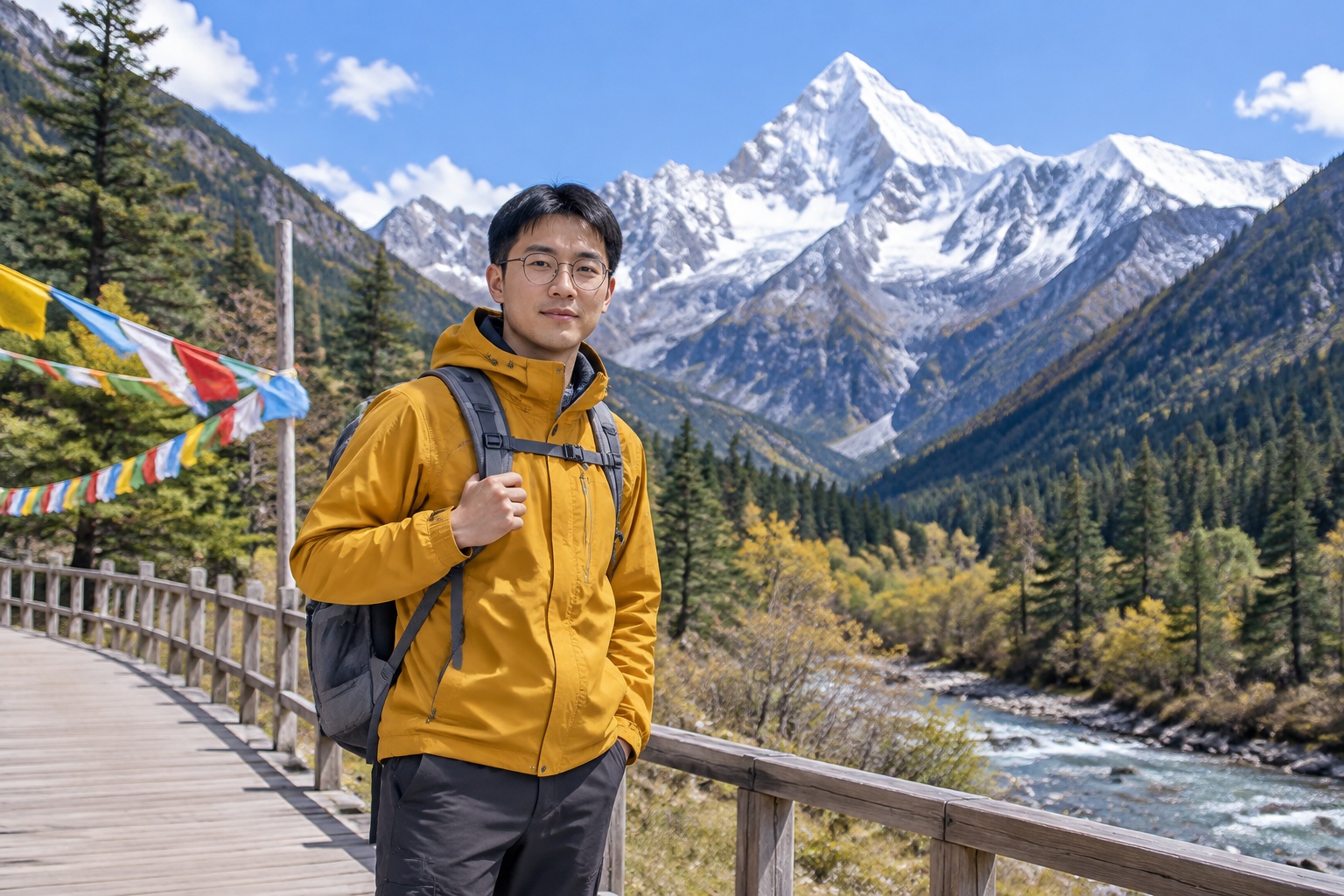
Siguniang means Four Girls Mountain: four connected snow peaks. The highest, Yaomei Feng, rises to 6,250 meters and is called the Queen of Sichuan Mountains. The King is Gongga, farther south. Some people call Siguniang the Eastern Alps. Those people have probably not been to the Alps. The mountains here are steeper, emptier and less forgiving.
Day 3 · Two Valleys, Two Ways to Walk
Shuangqiao Valley is the easy one. A sightseeing bus covers more than 30 kilometers, and you can get on and off. You see snow peaks, seabuckthorn woods and old glacial stones. People who cannot walk far can still see the valley.
Changping Valley is slower. You walk or ride a horse, following the valley toward the foot of Yaomei Feng. The farther in you go, the quieter it gets. Choose Shuangqiao for ease. Choose Changping if you want the snow peak close enough to feel like a wall.
White · Cloud (Day 4)
Day 4 · Danba: Cloud at Mid-Mountain, Towers in Cloud
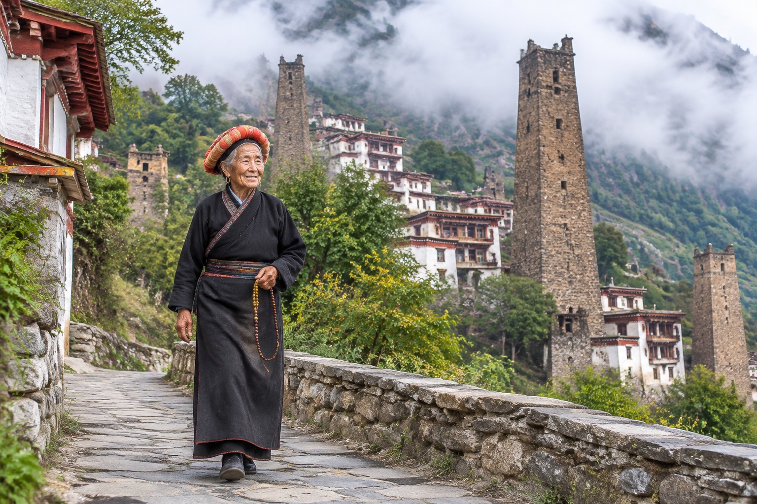
Danba’s Tibetan villages hang on steep slopes: white walls, red eaves, flat roofs, one house stacked above another. When cloud rises from the valley, the highest homes disappear first. This is Jiarong Tibetan country, known as the Kingdom of Thousand Watchtowers.
The towers are built from stone, without steel. Some are more than ten stories high, with tapered corners, and they have stood for centuries. They were used for defense and for storing grain. Standing below one, looking up, you understand why such a thing could only be built by people who knew this slope with their hands.
Go out in the morning. Cloud and mist are thickest between 8 and 9 a.m. Once the sun climbs, the cloud burns away.
Red · Fire (Day 5)
Day 5 · Xinduqiao: The Best Forty Minutes of the Day
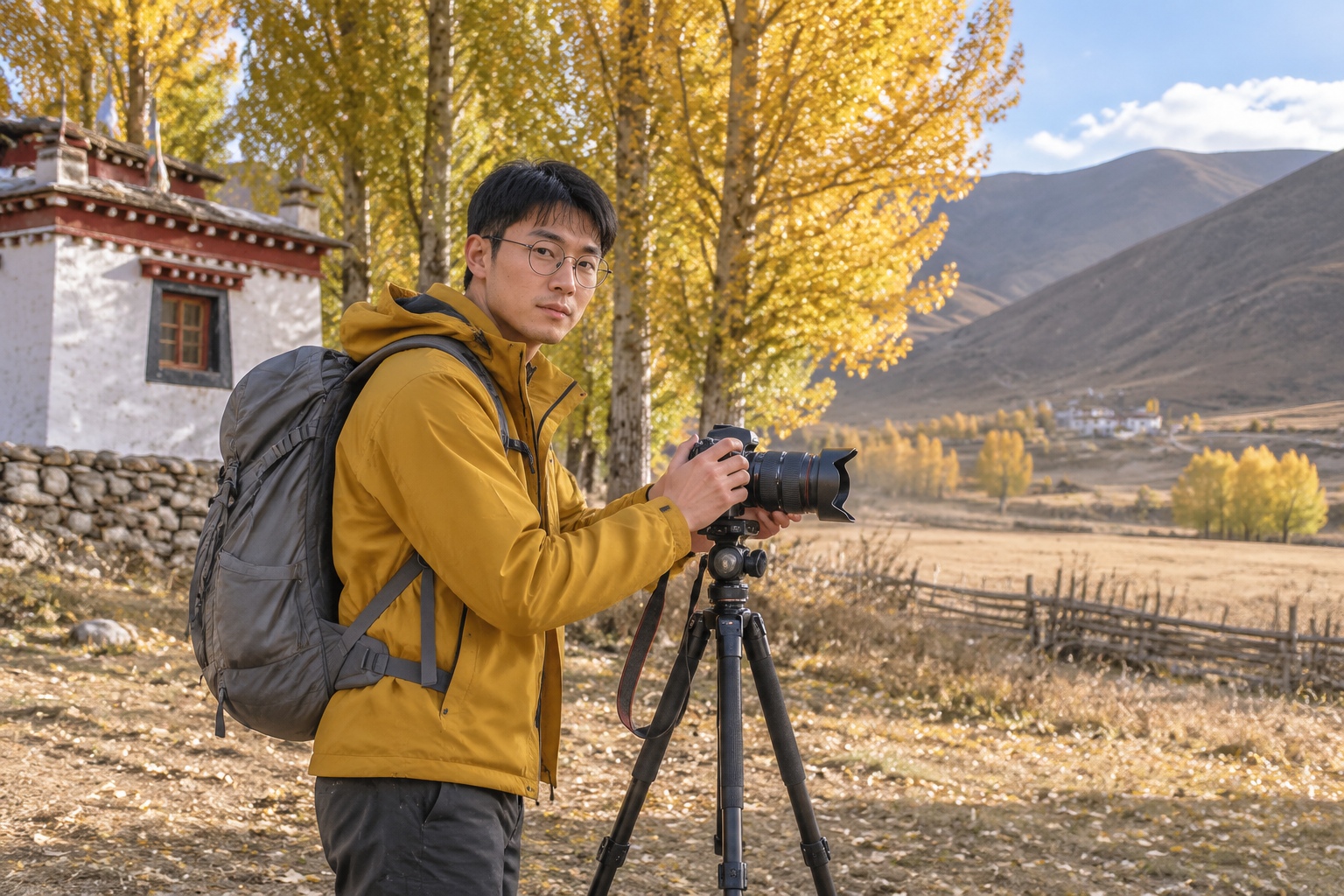
Xinduqiao is called a photographer’s paradise. The name is big, but the light is real. The valley is wide, the hills do not block the sun, and from about 4 to 6 p.m. the light comes in from the side and behind. It lights up the poplars, the Tibetan houses and the dust on the road all at once.
From mid-October to early November, the poplars turn gold. Other times of year they are green. Whatever the season, do not schedule anything else for that window. Set up your camera. Wait for the light to walk toward you.
Red appears in three layers here: the sunset, the red eaves of the houses, and the red walls of a distant monastery. Tibetan builders use red carefully. It goes only where something needs to be seen.
Green · Water (Days 6–7)
Day 6 · Daocheng: The Longest Drive
Xinduqiao to Daocheng is the hardest driving day on the route: seven or eight hours, crossing several passes above 4,000 meters. Do not plan any sightseeing. The meadows, yak herds and distant snow peaks outside the window are the content.
Daocheng sits at 3,750 meters. Sleep may feel stuffy. The day’s task is to store altitude in your body: walk slowly, eat lightly, no alcohol, no hot bath.
Day 7 · Yading: Three Sacred Snow Mountains
Yading’s three snow peaks form a rough triangle. Chenresig is just over 6,000 meters; Jampelyang and Chanadorje are slightly lower. Tibetan tradition gives them a ranking: Avalokiteshvara, Manjushri and Vajrapani.
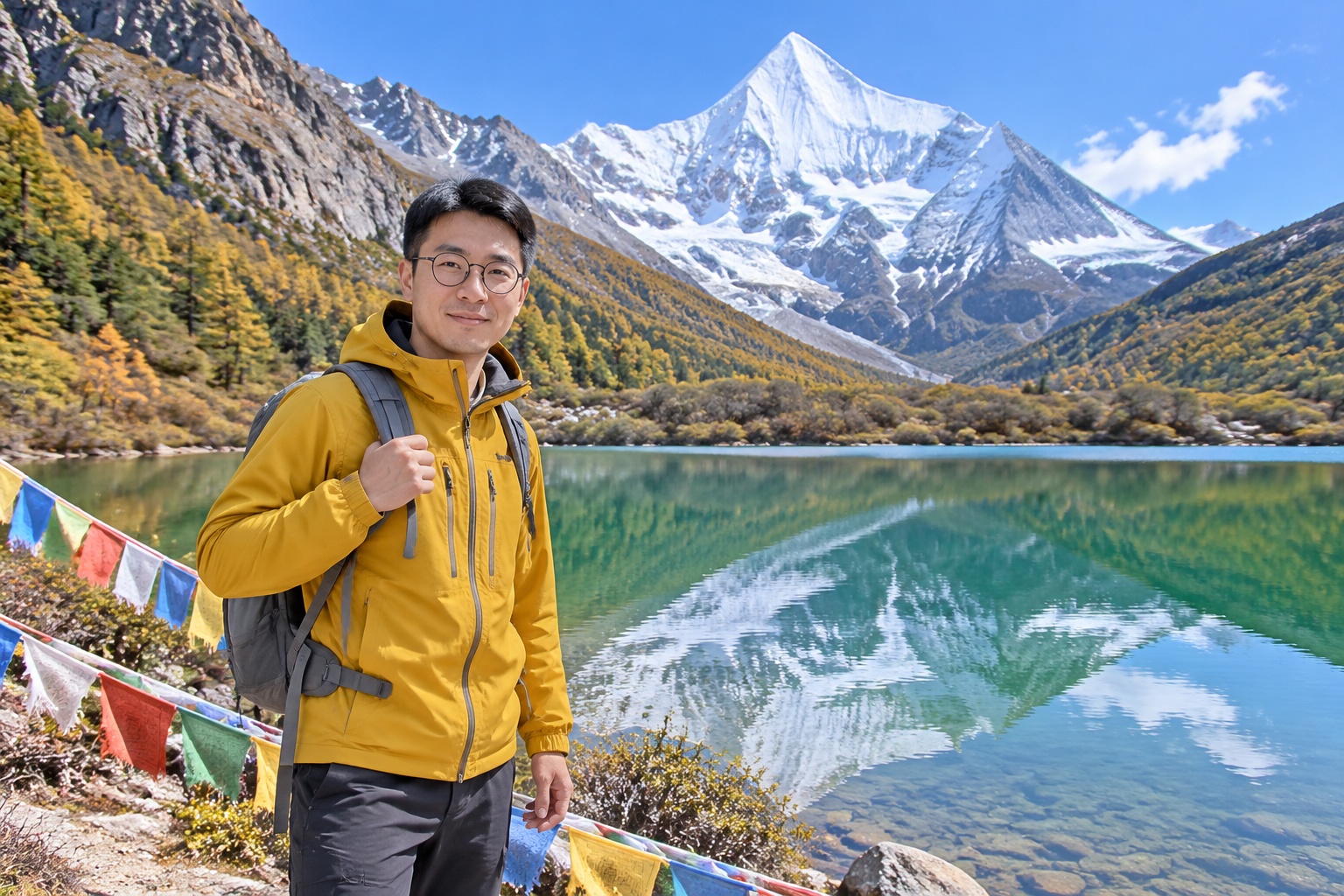
Inside the valley, stop first at Chonggu Meadow for the view of Chenresig. Then walk to Pearl Lake, a small lake that holds the whole snow peak when the sky is clear. Prayer flags sit in the foreground. Yading has been called the last pure land on the blue planet. That is a slogan. The altitude is a fact. The lakes here are so green they do not look like water. They look like polished jade.
Yellow · Earth (Days 8–9)
Day 8 · Milk Lake and Five-Color Lake: Walk It Up
This is an optional hiking day. From Luorong Pasture, Milk Lake sits at 4,600 meters and Five-Color Lake at 4,700 meters. The one-way distance is about five kilometers, with more than 400 meters of ascent. Round trip takes four to six hours. If you run out of energy, take a horse to the pasture and walk the last section.
My suggestion: walk if you can. Not only because the view is better, though the lakes above are better. The point is that the road is exchanged step by step. The breath you take at 4,700 meters is worth more than the photograph.
Day 9 · Return
Go back to Daocheng and fly from Daocheng Yading Airport to Chengdu or Chongqing, then connect to an international flight. The airport sits above 4,400 meters. During takeoff and landing, snow peaks fill the window. The last view of the route is still mountain.
Before You Go
Altitude is the one hard threshold. Above 3,000 meters you will feel it. Above 4,000 meters it is obvious. The itinerary already builds in three adaptation days: Rilong, Daocheng and Yading village. Do not compress them. Headache and poor sleep are common. Continuous vomiting or unsteady walking means descend or use oxygen immediately.
The driving is long. Hire a car and driver for the whole route. The longest day runs seven or eight hours, with many curves. Take motion sickness medicine early. Keep water and snacks in the car.
Season matters. June to October is best. Mid-to-late October brings golden poplars and clear snow peaks, but nights are already below freezing. July and August are rainy; cloud may hide the peaks, and seeing the summit is a matter of luck. In winter, some road sections close.
Temperature and UV swing hard. In one day you can go from short sleeves to a down jacket. A hat, sunglasses and sunscreen are not optional. The high-altitude sun can burn you in ten minutes.
Signal drops on passes and inside valleys. Download offline maps. Send the messages you need to send before you lose network.
Lodging in Yading village and Danba’s Tibetan guesthouses is simple. Hot water and heating are not guaranteed. Bring a fleece to sleep in.
Who This Route Suits
It suits people who want snow peaks and will get up early for a sunrise; hikers who can accept several hours on foot; travelers curious about Tibetan culture and willing to sit down in a village; and people who can tolerate long mountain drives.
It does not suit people with serious heart or lung disease or uncontrolled high blood pressure; people with only five or six days who want to compress the route, because altitude does not negotiate; people who need predictable hotel comfort; or people looking for city food and nightlife. At night, this route offers stars.
What You Take Home
Not a thangka and not Tibetan silver. You take home the breath on the stairs in Rilong. The snow blown off Yaomei Feng into a diagonal line at the end of Changping Valley. Cloud rising in Danba while the top houses vanish. The ten minutes at 4:30 in Xinduqiao when the light sets the poplars on fire. Stars outside the Daocheng window so dense they do not look real. A whole snow peak inside Pearl Lake. At 4,700 meters, you stop to breathe, and the quiet is so complete you can hear your own heartbeat.
Nine days. Blue sky, white cloud, red fire, green water, yellow earth. Prayer flags are for the wind to read. This road is for you to walk.