

A glass of water that begins in Hubei
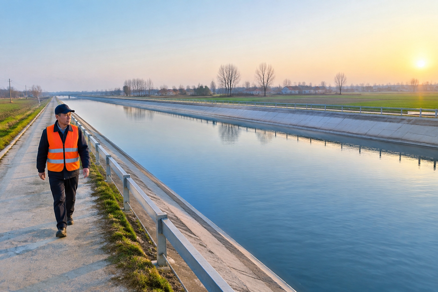
Fill a kettle in a Beijing kitchen on a January morning and the water in it may have started out 1,432 kilometres to the south, in a reservoir on the Han River in Hubei province. It passed through Henan and Hebei, crossed under the Yellow River, and ran downhill the entire way without a single pump pushing it.
That is the middle route of the South-to-North Water Diversion Project, the largest inter-basin water transfer scheme ever built. It is easier to understand if you stop picturing one canal and start picturing a plumbing system for half a country.
Three routes, drawn on a map
China’s water and China’s people sit in the wrong places. The north holds roughly 45% of the population and about 60% of the farmland, but less than 20% of the country’s freshwater. Cities like Beijing, Tianjin and Shijiazhuang have spent decades pumping groundwater faster than rain refills it.
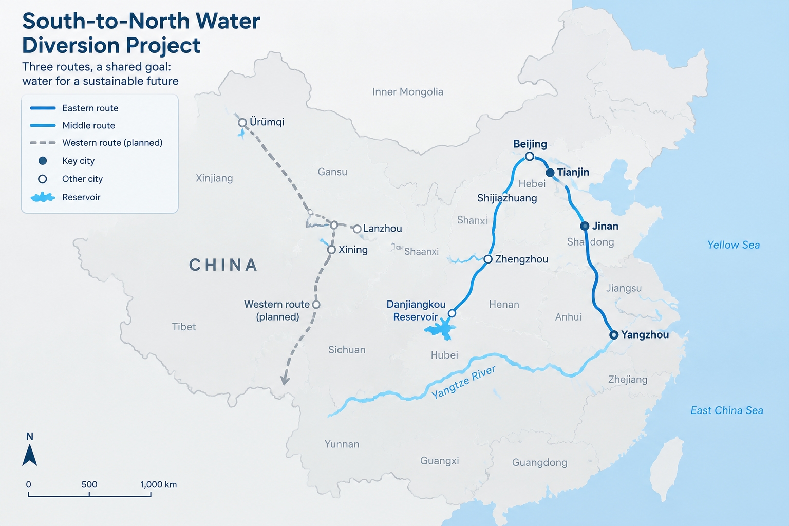
The response, approved in 2002 and built in stages, was to move water north along three lines.
The eastern route starts at the Yangtze near Yangzhou in Jiangsu, then follows the old Grand Canal north through Jiangsu, Anhui and Shandong. Its first phase began delivering water in late 2013. A later extension, finished in 2021, allows it to push water further north to Hebei and Tianjin in dry years.
The middle route lifts water from the Danjiangkou Reservoir on the Han River, a Yangtze tributary, and sends it through a 1,432-kilometre canal across Henan and Hebei to Beijing and Tianjin. Water reached Beijing in December 2014.
The western route is still a plan. It would link tributaries of the upper Yangtze to the upper Yellow River in the mountains of western China, where altitude and cost make construction far harder. No main line has been built.
Add the eastern and middle trunk lines together and you get roughly 4,350 kilometres of canals, pipes and channels — about the distance from London to Tehran.
One route climbs, one route falls
The two working routes solve completely different engineering problems.
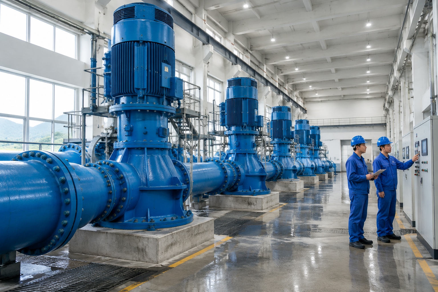
In the east, the land rises as you head north, and the Yangtze sits lower than the farmland of Shandong. So the water has to be lifted. A cascade of pumping stations, including the Jiangdu complex near Yangzhou — one of Asia’s larger pump clusters — raises the water about 65 metres in total, roughly the height of a 20-storey building, before it can flow on. Engineers describe it as making water run uphill, and that is essentially what it is.
The middle route took the opposite approach: it let gravity do the work. Engineers raised the Danjiangkou dam and set the canal’s entry point high enough that the water descends about 100 metres over its full length, which means it can flow all the way to Beijing and Tianjin without a single pump. Where it meets the Yellow River, it passes underneath through tunnels rather than crossing on a bridge, because the Yellow River there runs above the surrounding land on a bed of silt.
Water quality on the middle route is reportedly Class II or better along most of its length under China’s five-tier surface water standard — good enough to treat into drinking water. The canal is fenced, buffered and patrolled, and a 2014 State Council regulation, the Measures for the Administration of Water Supply and Use of the South-to-North Water Diversion Project, sets out who gets how much water, how it is priced, and what happens to anyone who pollutes it.
Danjiangkou: the bill paid by 345,000 people
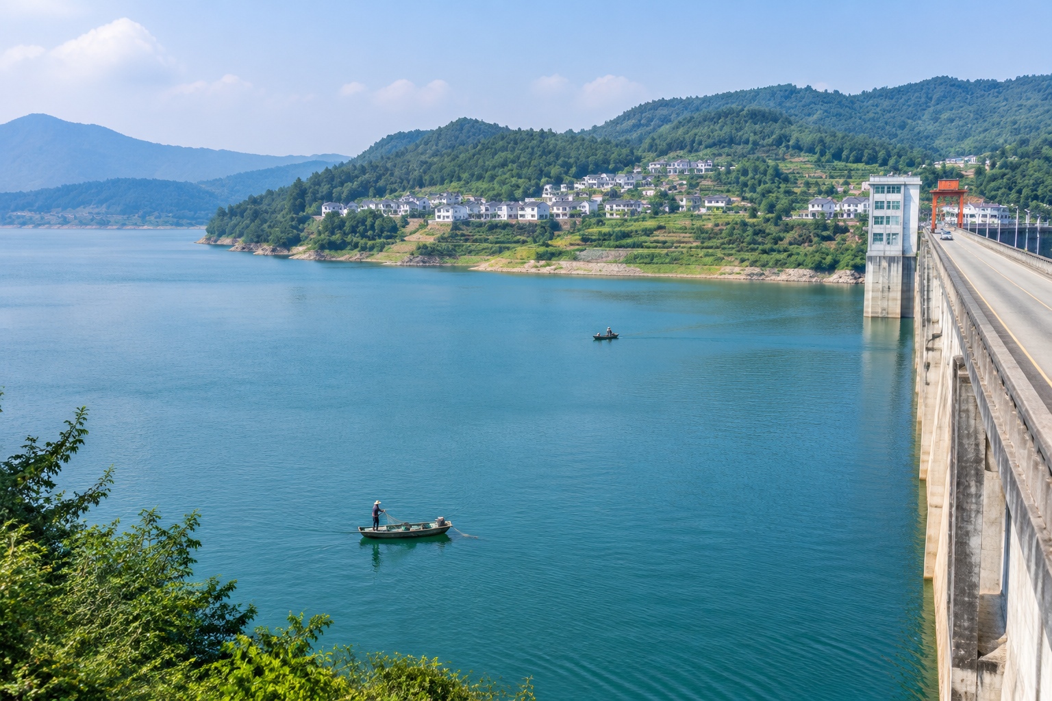
Raising the Danjiangkou dam from 162 to 176.6 metres expanded the reservoir from about 17.5 billion to 29 billion cubic metres. It also put more land under water, and about 345,000 people were moved — most of them within Hubei and Henan, many from Xichuan county.
New towns were built. Families received compensation, replacement housing and, in many cases, newly developed farmland on hillsides. Government evaluations and independent researchers have both noted that outcomes varied: some resettled households rebuilt their incomes within a few years, others struggled with poorer soil or with jobs in places far from their old networks. That part of the story rarely makes it into the brochures.
What 185 million people actually notice
By 2024, the eastern and middle routes had moved more than 70 billion cubic metres of water and were directly serving over 185 million people, according to the project’s operating authority. But the number that matters to a household is smaller than that.
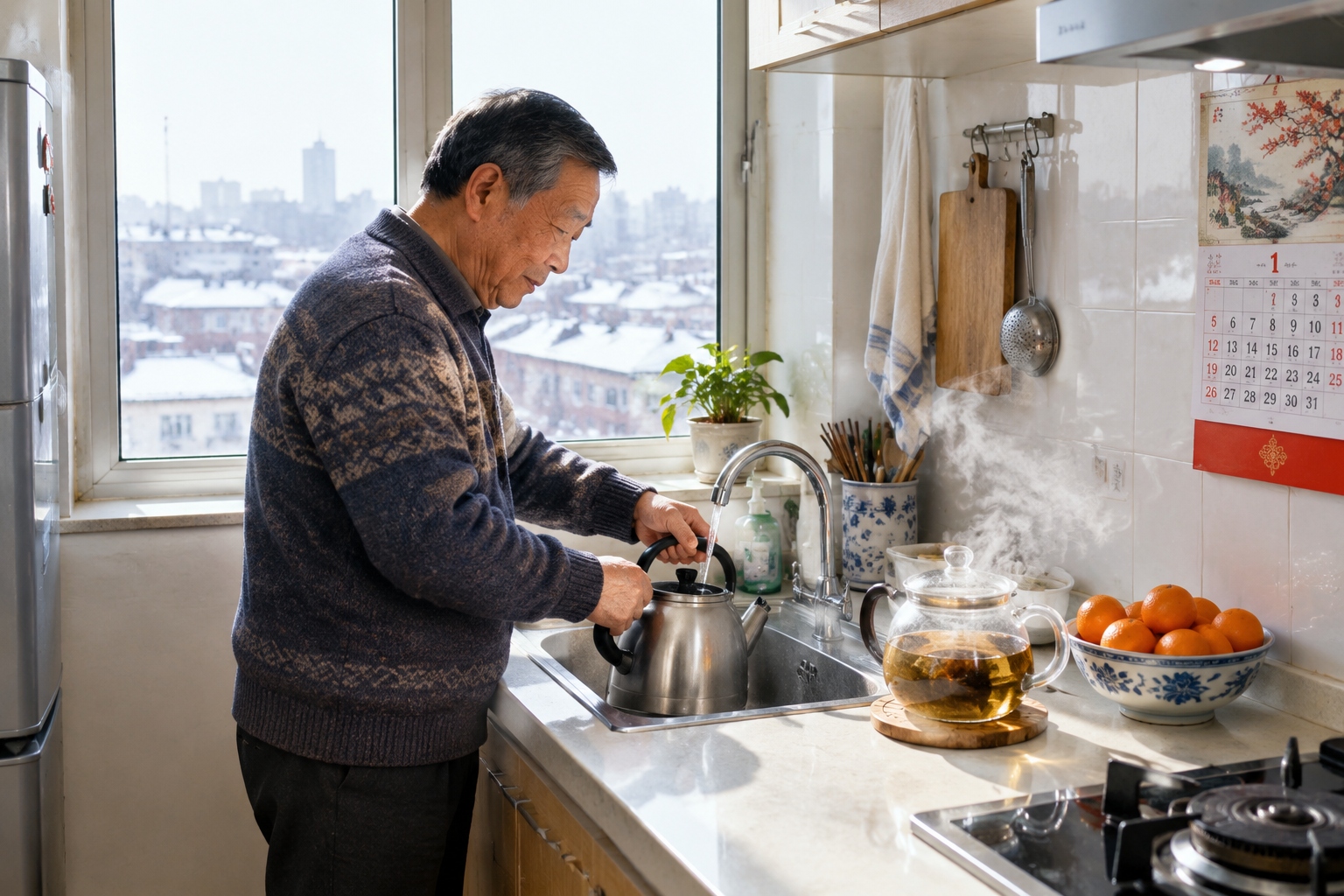
In Beijing, more than 70% of urban tap water now comes from the middle route. Residents noticed something specific: the scale in their kettles. Beijing’s water utility has said hardness dropped from roughly 380 milligrams per litre before the switch to around 120 afterwards, which is why the tea looks different and the kettle needs descaling less often.
In Tianjin, most of the urban supply comes from the diverted water. In Henan and Hebei, cities including Zhengzhou, Shijiazhuang and Baoding draw on it. Under the middle route’s design allocation, Henan receives about 3.8 billion cubic metres a year, Hebei about 3.5 billion, Beijing about 1.2 billion and Tianjin about 1 billion.
The quieter effects are underground. Beijing’s groundwater level has risen for several consecutive years after decades of decline, and Hebei has been able to cut back on deep aquifer pumping. Rivers that had been dry for years have water again — stretches of the Yongding River in Beijing and the Hutuo in Shijiazhuang have been refilled, and Baiyangdian, the largest lake in the north China plain, has expanded.
Who pays, and how much
The first phase of the eastern and middle routes cost roughly 250 billion yuan, about US$35 billion, including the reservoirs, canals and resettlement. That money came from the central government, provincial governments and, for parts of the eastern route, water utilities.
Diverted water is generally more expensive per cubic metre than the local groundwater it replaces, because somebody had to build a canal 1,432 kilometres long. Cities blend the two sources and set consumer tariffs themselves. A Beijing household pays about 5 yuan, roughly 70 US cents, for a cubic metre of water including wastewater treatment — a price that has risen over the past decade and still does not fully cover the cost of the system.
The parts that don’t add up neatly
The project moved water, not demand. Beijing’s population and economy kept growing, so the city uses its allocation and still talks about scarcity.
Taking water from the Han River has consequences downstream, in the same river that Shaanxi wants for its own cities. To compensate, China built a canal from the Yangtze to the Han and a regulating dam on the middle stretch, and low-flow periods still worry ecologists.
Then there is the conservation side. National policy now runs on the “four determinations”: planning urban growth, industry and population according to how much water a place actually has. Agriculture still consumes more than 60% of China’s water, quotas are enforced by province, and some cities that were allocated diverted water have been slow to stop pumping groundwater because the canal water costs more.
What the project explains about China
The South-to-North Water Diversion is not a symbol so much as a mechanism. It rearranges geography with concrete, pumps and a legally defined water budget, and for the 185 million people on the receiving end it shows up in unglamorous ways: a kettle with less scale, a river with water in it, a city that does not have to ration showers in summer.
It also shows the limits of that approach. Engineering can move water; it cannot make the north wet. The real test of the project is not whether the canals hold, but whether the cities at the end of them can learn to live within what arrives.
Start the discussion at forum.chinacomes.com