

A Freight Forwarder’s Map Changes Shape
At Qinzhou Port in Guangxi, a freight forwarder named Liang spends part of every morning tracing truck routes on his computer screen. Most of the aluminum, sugar, ceramics, and agricultural goods he handles from Guangxi and nearby provinces still move east by road or rail toward Guangzhou, Shenzhen, or Hong Kong before they reach the sea. The route works, but it is long, expensive, and increasingly crowded. What Liang is waiting for is a new line on the map: the Pinglu Canal, a 134.2-kilometer waterway being cut through southern Guangxi to link the Xi River system with the Beibu Gulf.
When I asked him what changes if the canal opens, he did not talk about national strategy. He talked about a single container of ceramic tiles. Today it may travel by truck to a port. Tomorrow it could be loaded onto a barge in Nanning, floated south, and lifted onto a ship at Qinzhou. “If the price drops by even a few hundred yuan per container,” he said, “the customer notices.”
Why China Is Building the Pinglu Canal
China’s major rivers mostly run east to west. The Yangtze reaches the sea near Shanghai. The Xi River, part of the Pearl River system, reaches the sea through Guangdong. The southwest—Guangxi, Yunnan, Guizhou, and parts of Sichuan and Chongqing—has factories, mines, farms, and growing trade with Southeast Asia, but no direct deep-water route to the ocean. Goods often travel east to the Pearl River Delta before they turn south.
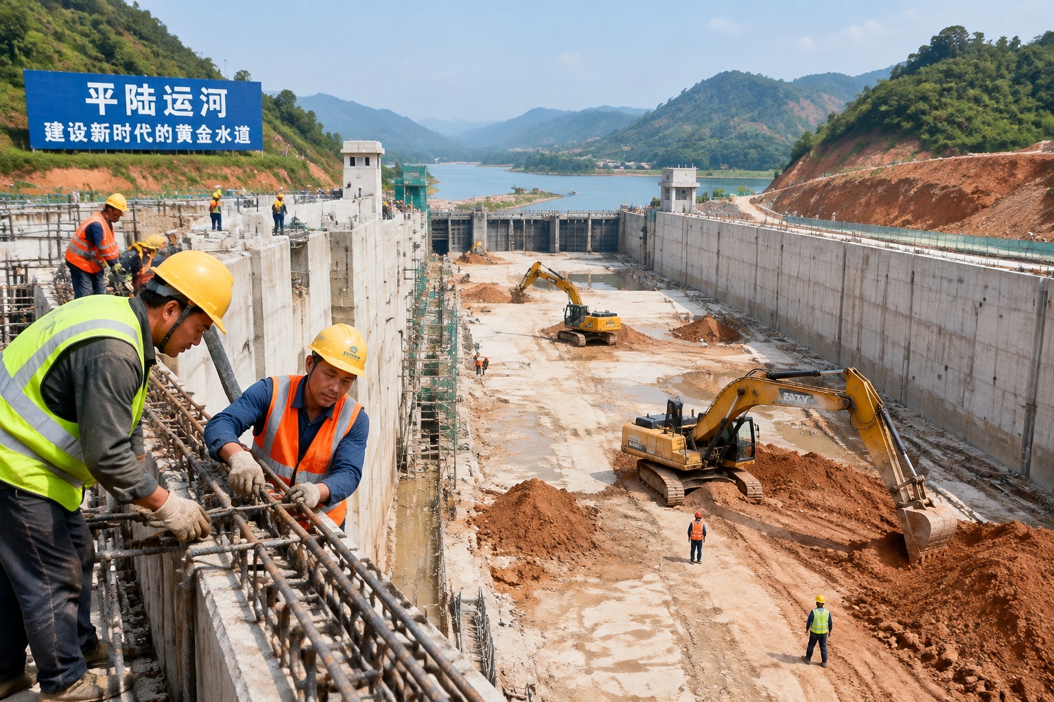
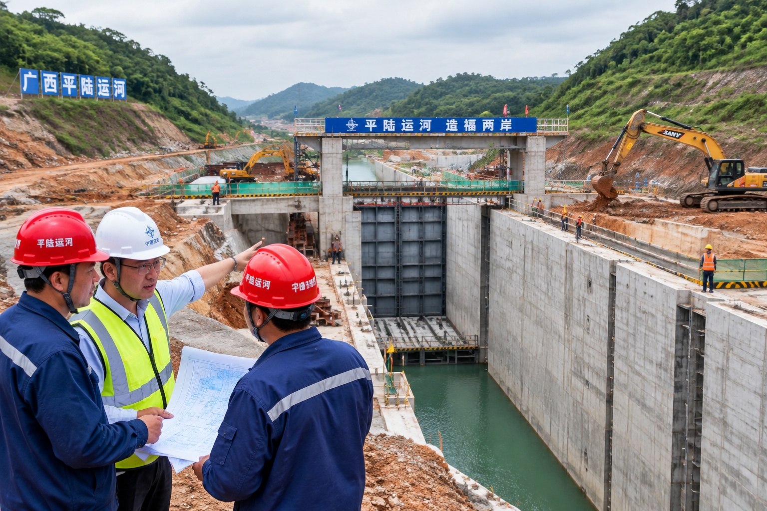
The Pinglu Canal is meant to break that pattern. It starts near Nanning, follows the Pingtang River and the old Xijin reservoir area, crosses to the Qin River, and enters the Beibu Gulf at Qinzhou. It is built to handle 5,000-ton vessels. The official cost is about 72.7 billion yuan, and the target is for the main project to be completed by the end of 2026. The claimed saving is a voyage about 560 kilometers shorter for many cargoes from the Xi River’s upper reaches.
This is not a simple ditch. The route needs locks, bridges, embankments, and environmental monitoring. Because it enters the sea near mangrove areas, engineers have had to plan around tidal flows and fish habitats. In practical terms, the canal is less a romantic “grand canal” than a piece of logistics hardware: slow, heavy, and designed to move bulk goods—coal, ore, grain, cement, containers—at a lower cost per ton than trucks.
What It Means in Daily Life
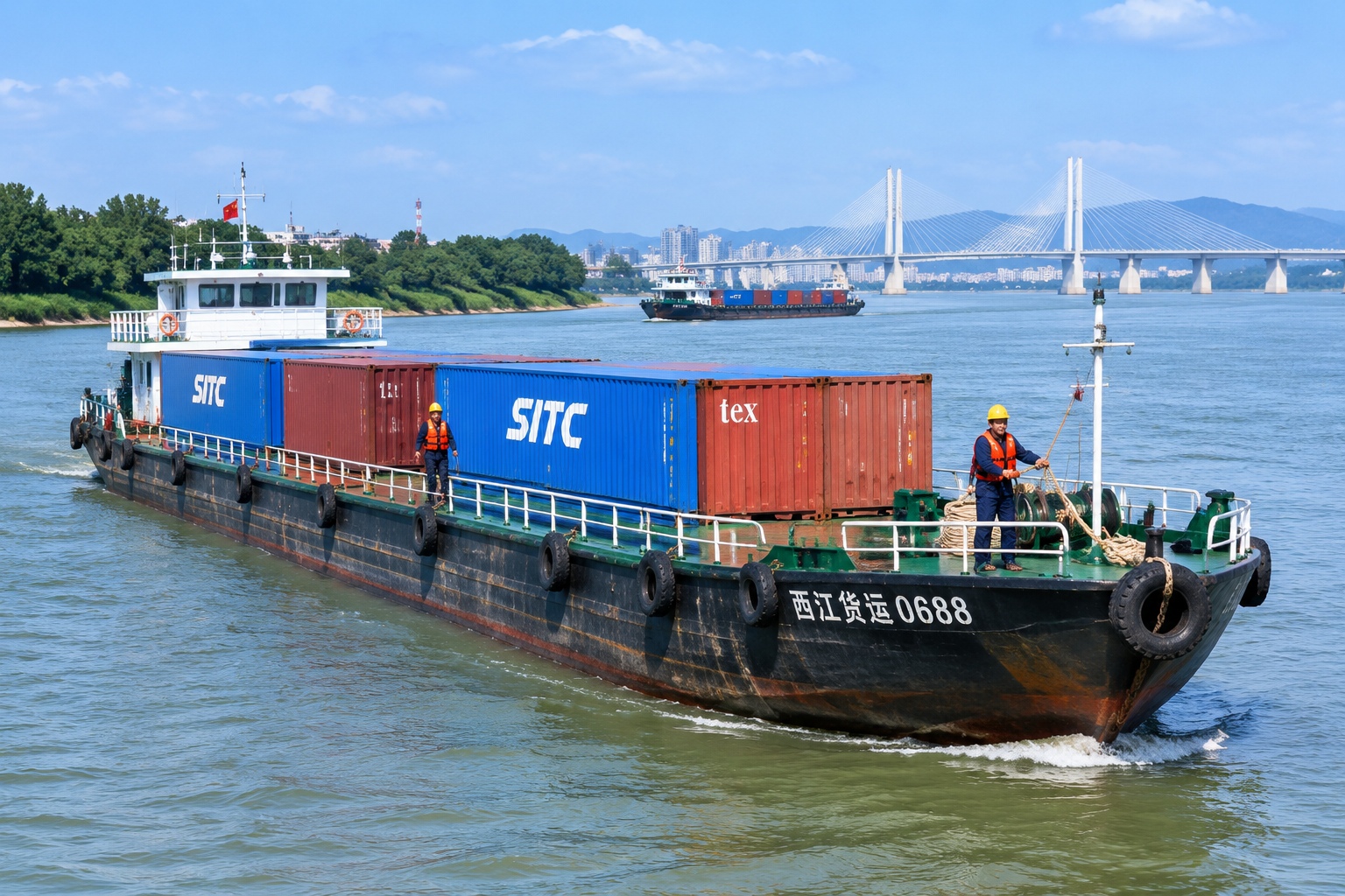
For people along the route, the canal is already visible in construction traffic, relocated bridges, and newly hired workers. In Qinzhou, port operators are preparing for more barge traffic and transshipment. In Nanning and surrounding industrial parks, factory managers are calculating whether water transport can cut their logistics bills. A single 5,000-ton vessel can carry what more than 150 heavy trucks can. That arithmetic matters for low-margin products like sugar, cement, and ceramics.
It also matters for exports to Southeast Asia. Goods heading to Vietnam, Thailand, Malaysia, or Singapore can leave from Beibu Gulf ports instead of going east first. The canal is part of the Western Land-Sea Corridor, a broader effort to link western China with the sea through rail, road, and port projects. For a small exporter, the effect is not abstract: shorter inland haul, fewer truck transfers, and possibly a more predictable schedule.
There are costs, too. Land acquisition affects farming communities. Water levels and river flows change. Construction disrupts local roads. Environmental groups have raised concerns about the canal’s impact on the Beibu Gulf’s sensitive coastline. Officials say monitoring and mitigation are part of the project. Whether those measures work will be tested after the canal begins operating, not at the ribbon-cutting.
The Much Larger Plan: Zhejiang-Jiangxi-Guangdong
If the Pinglu Canal is a new outlet to the sea, the Zhejiang-Jiangxi-Guangdong Canal is a much more ambitious attempt to rewire China’s inland map. The proposed waterway would run about 1,988 kilometers, linking the Qiantang River system in Zhejiang, through Jiangxi’s Poyang Lake and Gan River, across the Nanling watershed, and into the Pearl River system in Guangdong. Its two main parts are usually described as the Zhejiang-Jiangxi Canal, roughly 760 kilometers, and the Jiangxi-Guangdong Canal, roughly 1,228 kilometers.
The idea is to connect three major river basins: the Yangtze, the Pearl, and the Qiantang. If completed, barges could travel from the Yangtze region to the Pearl River Delta without going around the coast or relying only on rail and road. Jiangxi, a landlocked province in the middle, would become a waterway crossroads rather than a place cargo passes over by train.
But this canal is not under full construction. It remains largely in the planning and feasibility stage. Some sections have already been improved—Zhejiang has upgraded parts of its inland waterway network, and Guangdong has invested in the Beijiang route—but the full link has not been approved or funded on a single timetable. Chinese media reports have cited possible costs in the hundreds of billions of yuan, but no final budget or completion date is public. Anyone who tells you the exact opening year is guessing.
Why Canals Are Back on the Agenda
China is not digging canals out of nostalgia. The country already has the world’s largest high-speed rail network and an enormous highway system. But for bulky, low-value goods, water remains cheap. Industry estimates often put inland water transport at roughly half the cost of rail and one-fifth the cost of road per ton-kilometer. It is also less energy-intensive. As China tries to peak carbon emissions by 2030 and reach carbon neutrality by 2060, shifting some freight from trucks to barges fits the logic of green logistics.
National planning reflects that. The 2021 National Comprehensive Transportation Network Plan called for about 25,000 kilometers of high-grade inland waterways by 2035. That network is not just about the famous Yangtze or the Pearl. It includes projects meant to connect poorer inland provinces to ports and coastal markets. The Pinglu Canal is one. The Zhejiang-Jiangxi-Guangdong Canal, if built, would be another.
There is also a regional balance argument. Coastal provinces have benefited most from export manufacturing. Inland provinces want cheaper access to global markets. A canal can lower the cost of moving ore from Yunnan, cars from Chongqing, ceramics from Jiangxi, or furniture from Guangdong. Whether those savings are large enough to justify the construction bill is a separate question.
The Hard Parts: Water, Ecology, and Demand
Canals across watersheds are difficult. To move a boat from one river basin to another, engineers must manage elevation. That means locks, ship lifts, pumping stations, and sometimes tunnels. Every lock uses water. In dry seasons, river regulators must balance navigation, drinking water, farming, and hydropower. The Nanling crossing in particular is a technical and environmental challenge.
Ecology is another constraint. Rivers are not pipes. They carry sediment, fish, and nutrients. Dams and locks fragment habitats. The Beibu Gulf has mangroves and mudflats that support fisheries. The Poyang Lake region is a major wetland and a stopover for migratory birds. Building a canal through or around these areas requires environmental impact assessments, which can take years and attract public opposition.
Then there is demand. Barges are cheap but slow. Many manufacturers today value speed and reliability more than the lowest possible freight rate. If rail lines and highways improve, some cargo may never return to water. Some economists question whether the projected freight volumes for the Zhejiang-Jiangxi-Guangdong Canal are realistic, especially if tolls and lock fees are high. The project’s supporters argue that demand will grow as costs fall and ports become more efficient. The debate is not settled.
What to Watch Between Now and 2035
For the Pinglu Canal, the next milestones are concrete: complete the main works by late 2026, test the locks, integrate barge schedules with Qinzhou’s port, and see whether shippers actually switch. If the canal works, the first sign will be more barges on the water and fewer trucks on the highway. If it struggles, the issue will likely be water management, port bottlenecks, or simply slow adoption.
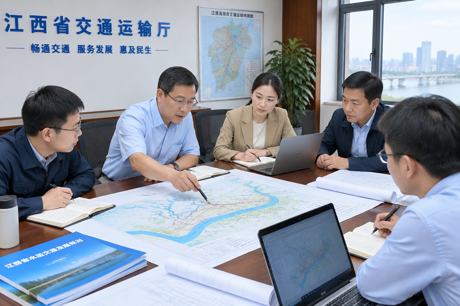
For the Zhejiang-Jiangxi-Guangdong Canal, watch the boring paperwork. Feasibility studies, environmental reviews, provincial budget commitments, and land acquisition plans matter more than renderings. A full start of construction would be a clear signal. Until then, it is a plan, not a fact. Some segments may be built first, creating a patchwork of improved waterways rather than a single grand canal by a fixed date.
For ordinary readers outside China, the story is not really about ancient glory. It is about whether a middle-income country with a massive manufacturing base can use rivers to cut costs and emissions. The answer will show up in port statistics, in the price of a container, and in the color of the water. Canals are slow infrastructure. They take years to build and decades to reshape a region. China is placing another bet that the wait is worth it.
Start the discussion at forum.chinacomes.com