
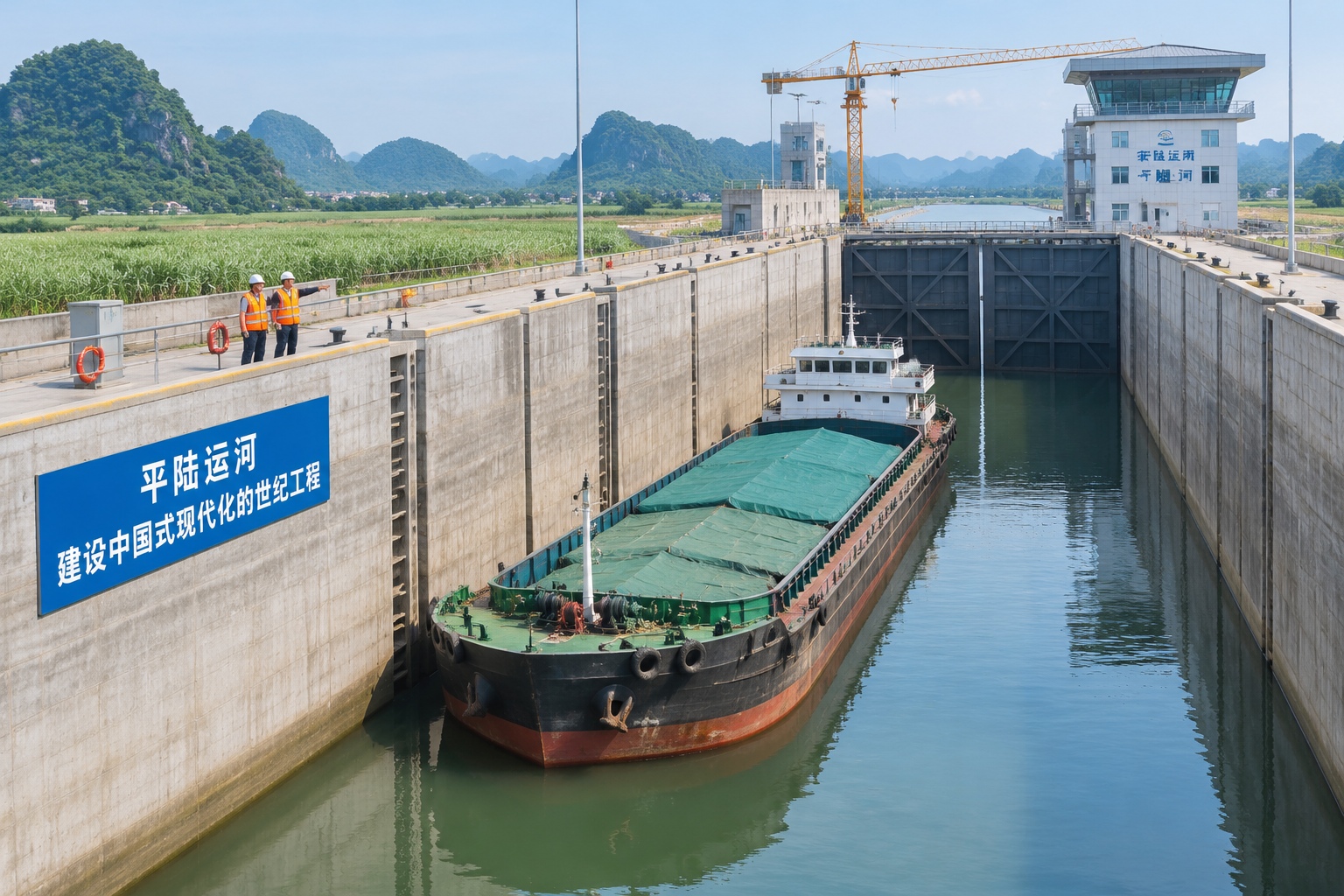

Inside a lock that lifts ships nearly 30 meters
At Madao, in southern Guangxi, the gates of one of the world’s largest inland navigation locks close behind a 5,000-tonne barge. Over the next few minutes the water inside the chamber rises by roughly 29 meters — the height of a nine-storey building — and the ship floats up and over a hill.
That is not a metaphor. The Pinglu Canal, a 134.2-kilometer waterway now in trial operation as it nears completion, crosses a watershed. Barges do not simply drift downhill to the sea. They climb the ridge that separates two river systems, then descend on the far side.
The number that explains why anyone outside Guangxi should care is 560. For a large slice of southwest China, this canal cuts roughly 560 kilometers off the route to the sea.
What the canal actually connects
Pinglu starts at Hengzhou on the Yu River, near Nanning, and runs south to Qinzhou on the Gulf of Tonkin. It is short — about the distance from London to Birmingham — and it was not cheap: roughly 72.7 billion yuan, or about $10 billion. Construction began in August 2022, and full commercial operation is targeted for the end of 2026. The trial runs now under way are the first real test with ships in the locks.
To see the point of it, look at a map of southern China. Guangxi’s inland cities sit close to the coast — Nanning is roughly 100 kilometers from the sea — but the water does not flow that way. The Yu River runs east into the Xijiang, which drains into the Pearl River estuary near Guangzhou. So a tonne of cement produced near Nanning either travels more than 1,000 kilometers by river to reach the Pearl River Delta ports, or goes by truck a few hundred kilometers to a port such as Qinzhou or Fangchenggang.
Trucking is fast but expensive and diesel-heavy. The river route is cheap but adds days and a long detour. Pinglu offers a third choice: load a barge in Nanning and float south, directly to the Beibu Gulf.
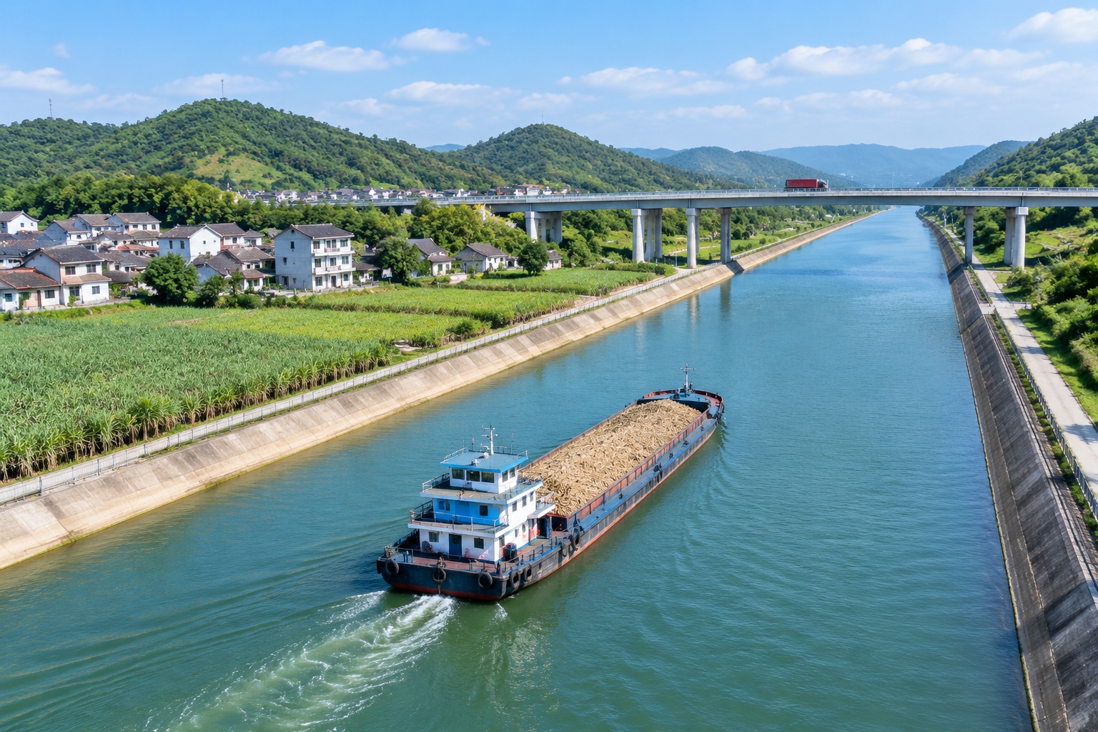
Why 560 kilometers is a big number in freight
Water is the cheapest way to move heavy, low-value things, and the gap between modes is larger than most people expect. As a rough industry rule of thumb in China, moving one tonne of cargo one kilometer costs about 0.4 to 0.6 yuan by road, around 0.15 yuan by rail, and roughly 0.03 to 0.05 yuan by inland barge.
Run that through the 560-kilometer saving. A tonne of cargo moved that distance by truck costs somewhere between 250 and 300 yuan in fuel, tolls and driver time. The same tonne on a barge costs roughly 20 to 25 yuan. For a single 5,000-tonne shipload, the difference is on the order of a million yuan — per trip.
Which is why the cargo that matters here is not smartphones. It is sugar — Guangxi produces roughly 60 percent of China’s sugar — along with cement, aluminum from Baise, manganese, timber, ore, ceramics, machinery, and a growing volume of battery and electric-vehicle components from inland plants.
For these goods, freight is not a rounding error. It is often the difference between a viable export and a stranded one.
Building a canal over a hill
Canals that cross a watershed are rare, because the engineering is unforgiving. This one has required moving roughly 340 million cubic meters of earth and rock, an amount comparable to several large hydropower projects combined.
Three navigation hubs — Madao, Qishi and Qingnian — do the lifting. Madao’s single-step lift of nearly 30 meters ranks among the highest for an inland waterway anywhere, and its lock gates are among the largest built for river shipping. The channel is designed to Class I standards, meaning it can take vessels up to 5,000 tonnes. Roads and bridges along the route had to be rebuilt or raised to clear the ships.
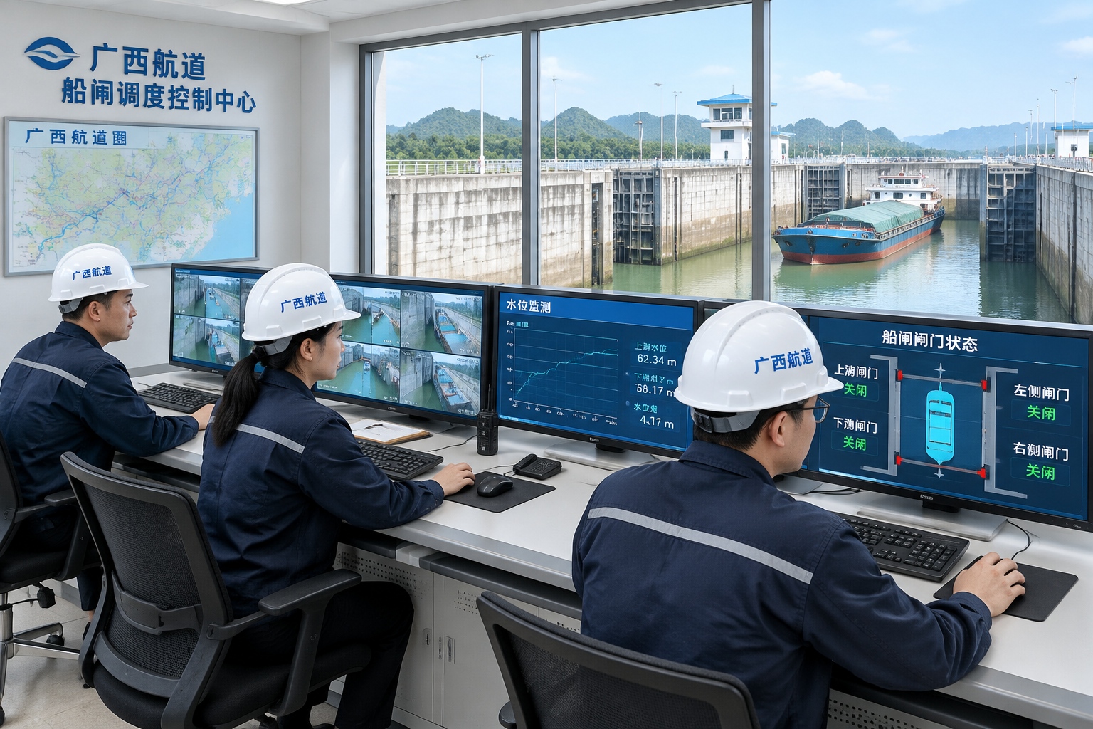
The canal is plumbed for other jobs as well. It carries water, supports irrigation along its banks, and includes fish passages and ecological channels intended to keep the two river systems from being ecologically welded together by the new connection.
Who gains — and who has to adjust
The most direct winners are shippers in Guangxi, Guizhou and Yunnan, and the ports of the Beibu Gulf. Qinzhou, Fangchenggang and Beihai have been expanding container and bulk capacity for years under a national plan called the New Western Land-Sea Corridor, which links western provinces to the coast by rail and road. Pinglu adds the missing water leg.
It also fits a wider trade pattern. Beibu Gulf ports are the closest Chinese seaports to Southeast Asia, and trade with ASEAN has become one of China’s fastest-growing corridors. Cargo that used to leave via Guangdong can now leave from Qinzhou, cutting both distance and port congestion.
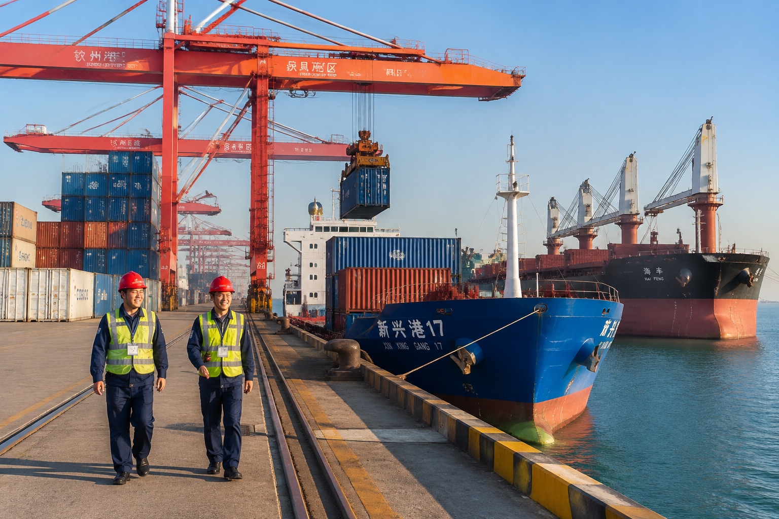
Losers are quieter but real. River ports along the Xijiang, including Wuzhou, handle transshipment traffic that may now head south instead. Trucking companies that haul containers to the coast face a competitor they cannot beat on price. And Guangzhou, Shenzhen and Zhanjiang now have another rival for the same cargo.
The awkward parts
The canal also carries genuine trade-offs, and they are worth stating plainly.
Water is the first. The canal draws its supply from the Yu River. In dry years the Xijiang basin already runs short, and the Pearl River estuary has had to be protected against saltwater pushing upstream. Splitting water between navigation, irrigation, cities and downstream ecosystems is a negotiation that will not end when construction does.
Ecology is the second. The canal mouth sits near mangrove and aquaculture areas, and a new shipping channel brings familiar risks: bank erosion, fuel spills, and species moving between basins that were previously separated. Designers built in fish passages and monitoring, but no canal of this size arrives without an ecological bill.
The third is money and demand. At 72.7 billion yuan, this is one of the largest single infrastructure projects in China this decade, and it pays back only if enough cargo actually uses it. Inland shipping is cheap mainly when barges carry cargo in both directions. If vessels run south loaded with cement and return empty, the economics weaken fast.
That is why Guangxi is spending as much effort on the canal economy — industrial parks, bulk terminals, grain and sugar processing along the route — as on the concrete. The canal is hardware. The demand for it has to be built.
What to watch next
The dates are the easy part: trial operations now, full commercial opening targeted for the end of 2026. The harder questions come after.
Will 5,000-tonne vessels actually show up, or will the canal mostly serve 1,000- to 3,000-tonne barges? Will Qinzhou’s throughput jump, or will cargo keep flowing east out of habit and existing contracts? And how will tolls be priced — high enough to recover the investment, low enough to pull freight off the roads?
For readers outside China, Pinglu is a useful case study in how the country still builds: not a single dramatic breakthrough, but a long, expensive, heavily engineered bet that a geographic disadvantage can be removed. The water in the lock at Madao is already rising. Whether the barges keep coming is the part that has not been proven yet.
Start the discussion at forum.chinacomes.com