

A queue that starts before dawn in Wuzhou
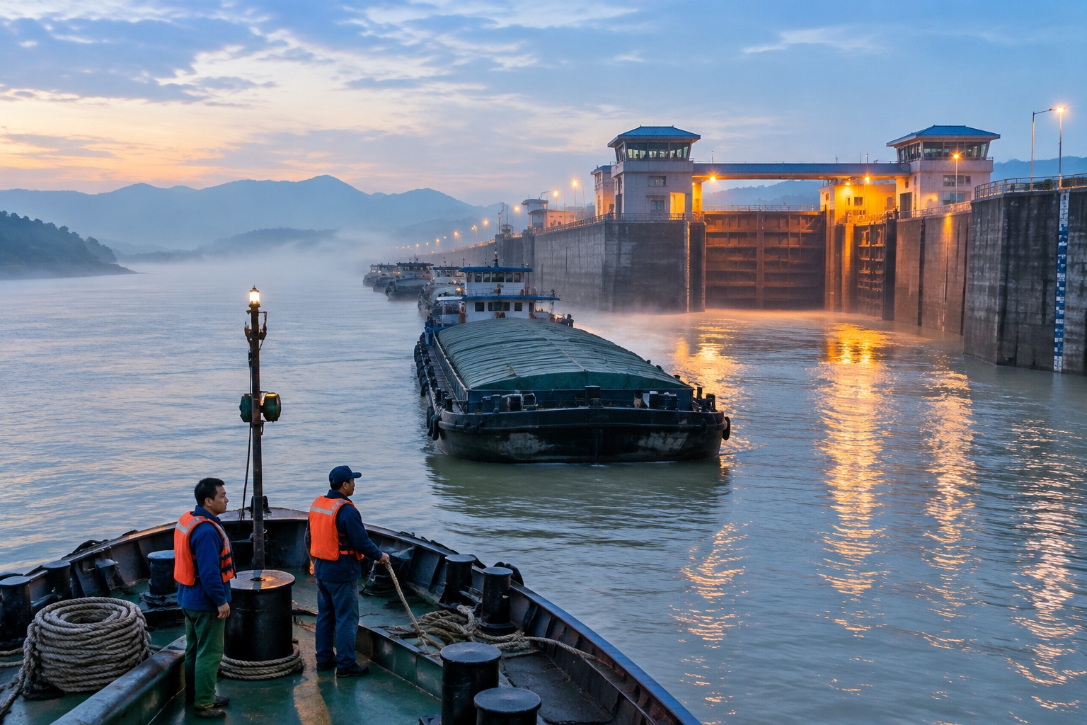
It is still dark at 5:40 a.m. on the Xi River at Wuzhou. Fog sits on the water, and all four lock chambers of the Changzhou hydro-junction are already working — green light, red light, then the low groan of a steel gate closing behind a barge the length of a football pitch.
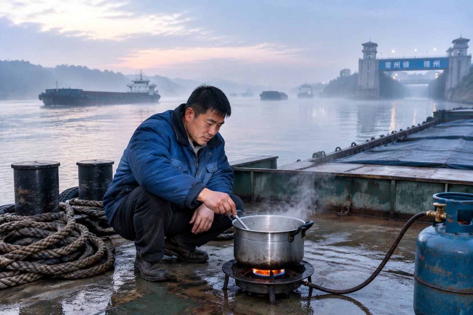
The queue behind it can stretch for kilometres. On the bow of one barge, a man in a padded jacket rinses a pot in river water and sets it on a gas ring. He has been waiting since yesterday afternoon. Behind him are thirty more vessels loaded with cement, coal, sand, steel coil and shipping containers, all pointed downstream towards the Pearl River Delta.
This is the Xi River navigation trunk line, the busiest inland waterway in southern China. In a recent year, more than 150 million tonnes of cargo passed through the Changzhou locks alone — a volume that would fill a very long train, every day, forever.
And that is the problem the rest of this article is about. Nearly all of it goes east. If you are a shipper in Guizhou, Yunnan or Chongqing, your goods travel a long way east before they can turn south to the sea.
Why the southwest never had its own way out
Look at a map of southwest China and something odd stands out. Guangxi has roughly 1,600 kilometres of coastline along the Beibu Gulf. Directly behind it sit Guizhou, Yunnan and Chongqing — the mineral-heavy, factory-heavy interior. For decades, almost none of that cargo has gone out through Guangxi.
The reason is the grain of the land. Rivers in the southwest run east or southeast. The Youjiang and the Yongjiang join the Xi River, and the Xi River runs to Guangdong. A barge leaving Nanning therefore sails east to Wuzhou, then on towards Guangzhou and out past the Pearl River estuary — roughly 560 kilometres further than it needs to.
Chongqing and Guizhou, meanwhile, use the Yangtze, which also runs east. Chinese planners have a shorthand for the ambition to fix this: 四省一市, four provinces and one municipality — Chongqing, Guizhou, Yunnan, Guangxi and Guangdong. (Guangxi is technically an autonomous region, but the phrase has stuck.) The goal is a water network in which rivers link arms and the southwest gets a direct route to the Beibu Gulf.
The Pinglu Canal: the one piece that is actually being dug
Start with the piece that exists. On 28 August 2022, construction began on the Pinglu Canal: an entirely artificial waterway running 134.2 kilometres from the Pingtang River mouth at Hengzhou, near Nanning, south to the coast at Qinzhou.
It is not a modest project. It is designed for 5,000-tonne vessels, involves three lock complexes — Madao, Qishi and Qingnian — and carries a price tag of roughly 72.7 billion yuan, about US$10 billion. The main works are targeted for completion at the end of 2026.
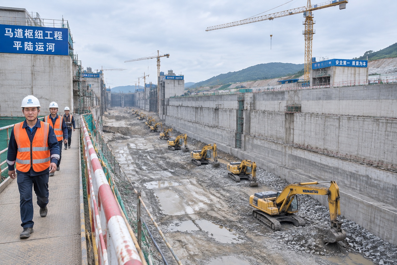
At the Madao lock site, the scale lands before the details do: a pit deeper than a ten-storey building, walls of poured concrete, a row of excavators working in dust at the bottom. This is a canal being cut through hills, not a river being widened.
What it buys is distance. A barge leaving Nanning will reach open water in about 130 kilometres instead of nearly 700. Aluminium from Baise, cement from Guigang, coal from Guizhou and containers from Chongqing could all turn south rather than east.
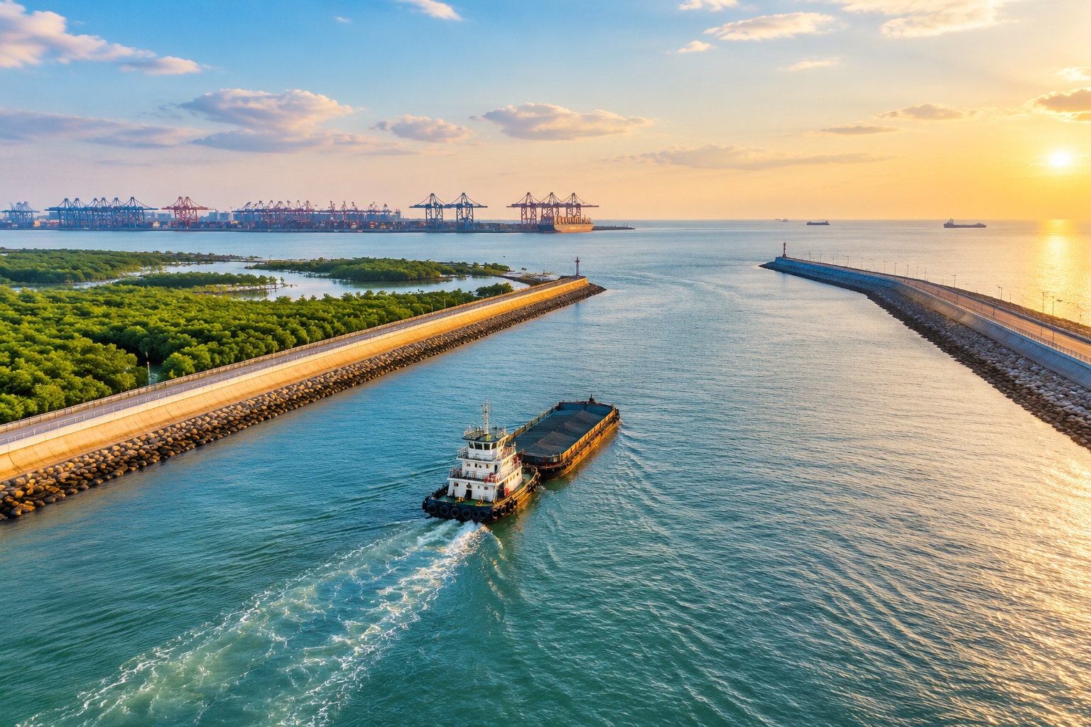
The canal also ends somewhere that made engineers nervous. Around Qinzhou there are mangroves, tidal flats, and further offshore the habitat of the Chinese white dolphin. Environmental assessments flagged both. The design was adjusted: longer culverts, changed alignments, a wider water-quality monitoring programme. Whether the adjustments are enough is a question people on this coast will keep asking for years.
Going upstream: Youjiang, Hongshui and the Longtan bottleneck
Now travel backwards, against the current. From Nanning the Yongjiang bends west and becomes the Youjiang, running up to Baise and beyond it into Funing County in Yunnan. The Youjiang is the artery for Baise’s aluminium industry and for its mango harvest.
But there is a wall in the way. The Baise hydro-junction, finished in 2006, cut the river for shipping until a ship lift was added — a two-by-500-tonne structure. Five hundred tonnes, in a country where a single Xi River barge carries 3,000, is a rounding error.
Keep going and the pattern repeats. The Hongshui River, which drains much of Guizhou and northern Guangxi, is interrupted at Tian’e County by the Longtan dam: a 216.5-metre concrete wall, among the tallest of its kind anywhere, generating around 4.9 gigawatts. Its navigation structure handles 500-tonne vessels. Anything bigger must be unloaded, driven around the dam, and reloaded.
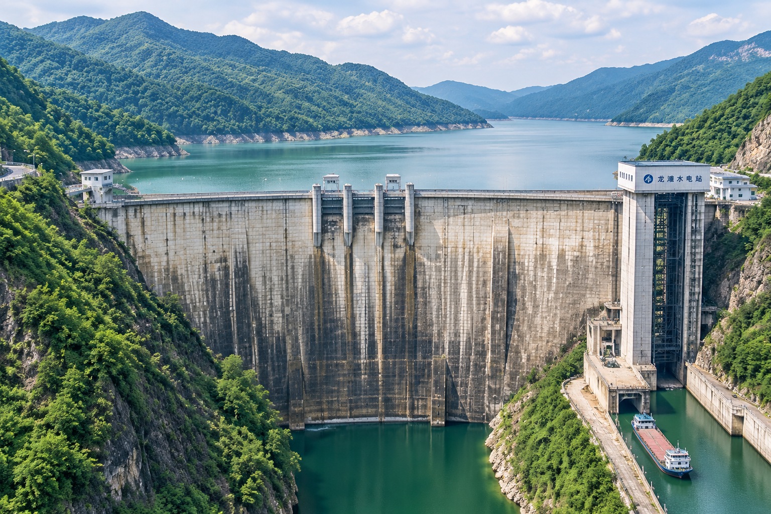
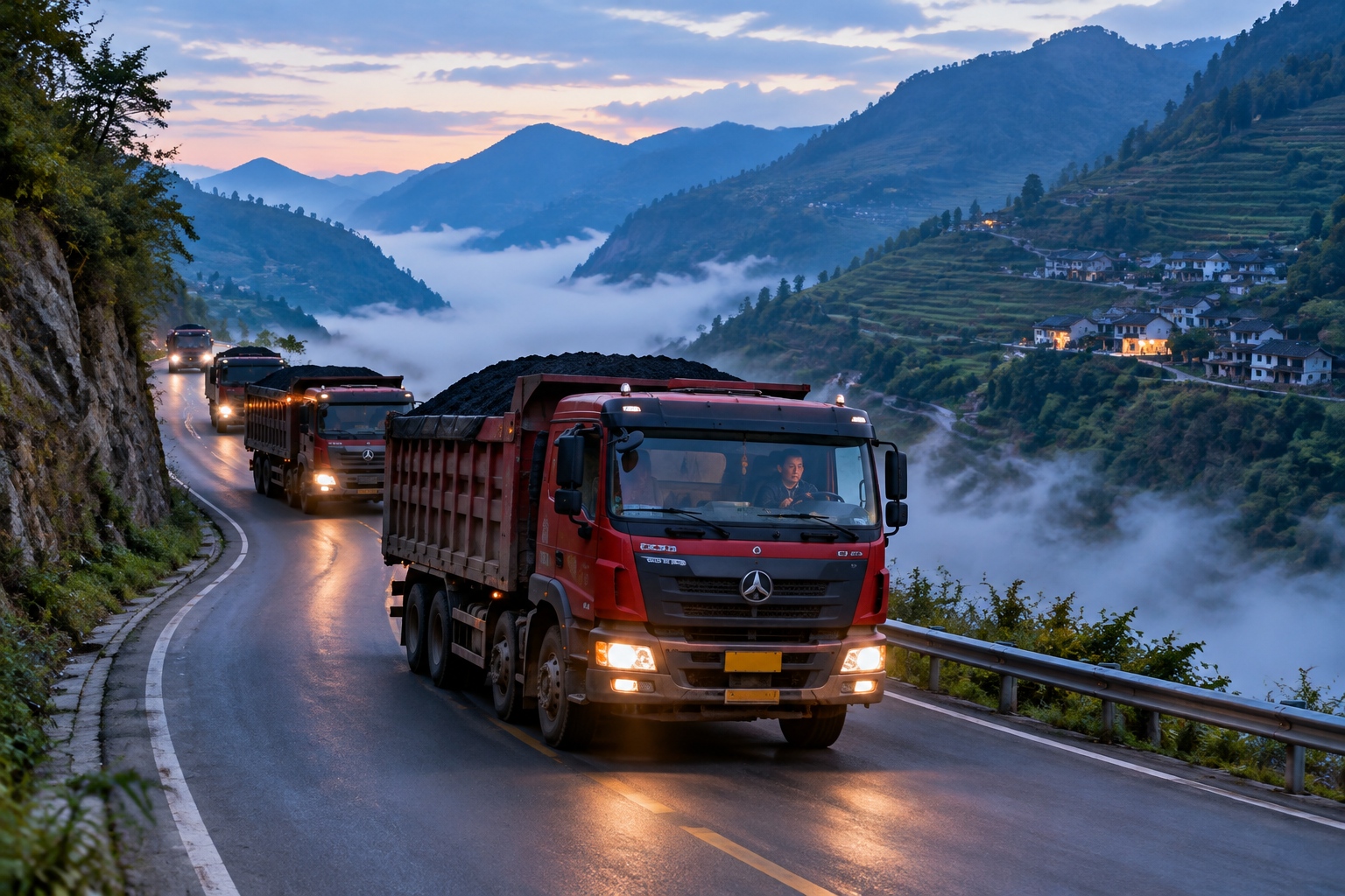
Guizhou does have a river route to the Yangtze, up the Wu River, fitted with a chain of 500-tonne ship lifts. But 500 tonnes is a truck fleet, not a coal province. So most of Guizhou’s coal still leaves by road, grinding down mountain highways at night, burning diesel to move what water could move for a fraction of the cost.
The Yu-Qian-Gui Canal: an idea, not yet a route
Which brings us to the part that is genuinely not built, not funded and not even definitively routed: the so-called Yu-Qian-Gui Canal, a proposed link between the Yangtze basin, via the Wu River in Guizhou, and the Pearl River basin, via the Hongshui — and from there to the Pinglu Canal and the sea.
On paper it sounds like the missing keystone. In practice it runs straight into the terrain. Guizhou is a plateau of limestone and deep gorges. The Wu River and the Hongshui sit at very different elevations, and any canal between them would require locks, tunnels and pumping on a scale nobody has yet costed convincingly. Then there is the water itself: the southwest is not always wet, and moving water from one basin to another raises hard questions about who loses.
So the honest answer to when the southwest’s waterways will link arms is: not soon, and not all at once. The Pinglu Canal will finish first, because it is a coastal cut rather than a mountain crossing. The upstream bottlenecks — Baise, Longtan, the Wu River lifts — are upgrades measured in years each. The Yu-Qian-Gui Canal is still in the study-and-argue phase, with no approved alignment and no construction date.
The timeline most Chinese waterway engineers describe runs roughly like this. Pinglu operating and ramping up by the late 2020s. The main upstream obstacles addressed through the early 2030s. Only after that does a genuinely connected network — a barge leaving Chongqing and reaching the Beibu Gulf without touching a truck — start to look like a plan rather than a diagram.
What it means on the ground
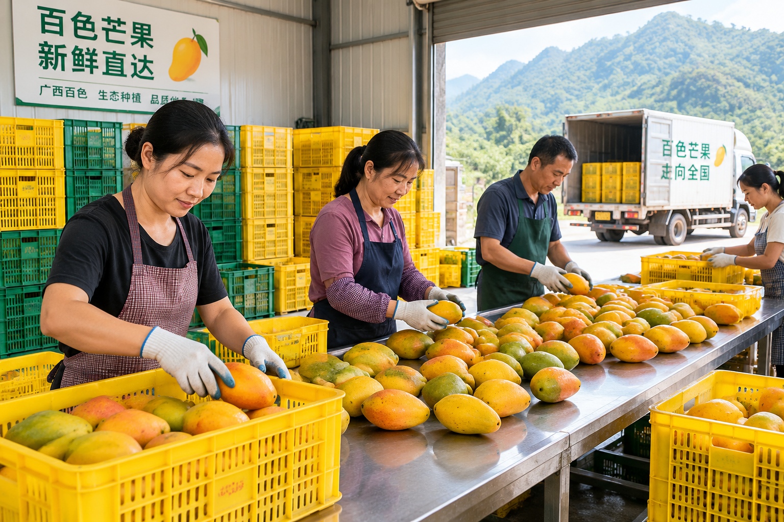
For people along the route, the canal is already more than a diagram. In Qinzhou, port jobs and land values have moved. In Hengzhou, families have watched their riverbank change shape. In Baise, a mango packing shed that used to send fruit east by truck is doing the arithmetic on a southern sea route.
There are costs as well. Barges are quieter than trucks, but they are not free: dredging, locks and ship lifts all need maintenance, and water taken for navigation is water not left in the river. Fishing families near the new canal mouth have had to renegotiate their relationship with a shoreline that no longer looks the same.
If you want to see it for yourself
Most of this is visible, if you know where to stand.
Wuzhou, Guangxi. High-speed rail from Guangzhou takes about 1.5 hours. Ask for the Changzhou lock area; the public riverbank on the north side gives you the barge queue, best at dawn or around dusk.
Hengzhou and Qinzhou. Nanning to Qinzhou is 30 to 40 minutes by high-speed rail. Construction sites are fenced working zones, not attractions — you will see the canal from public roads, bridges and the older riverside paths, not from inside the fence. Do not enter active sites.
Tian’e, Guangxi. The Longtan dam is a couple of hours by road from Nanning or Hechi. The dam itself needs permission to visit; the river town and the bridge viewpoints do not.
Baise. About 1.5 hours by high-speed rail from Nanning. The Youjiang riverside is walkable, and mango season, roughly May to August, is when the river’s cargo story becomes something you can eat.
Best season. October to April, the dry months, when the water is lower, the light is clearer, and you can see how much of the river is channel and how much is rock.
The word to watch for is 2030
Stand at the Changzhou locks at dawn again and the picture is simple: a river full of cargo, all of it pointed east. The Pinglu Canal is the first serious attempt in decades to point some of it south. It will open. The slower, harder, less photogenic work is upstream, in gorges and behind dams, where the water still has to argue with the mountains.
That is what linking arms actually means here. Not one ribbon-cutting, but a decade of ship lifts, lock upgrades and elevation problems — and a southwest coastline that only becomes genuinely useful to the interior sometime after 2030.
Start the discussion at forum.chinacomes.com